Trip report:After five years I got around to making a Shutterfly photo book for my August 2009 trip to Rocky Mountain National Park, so I thought I'll put up a quick pictorial trip report.
Note that this trip was the first time I took 'real' pictures, so the quality definitely isn't up to par. However I still think that there may be some good info for anyone considering a trip up there.
Click on any picture to see it in full resolution.
Day 1:
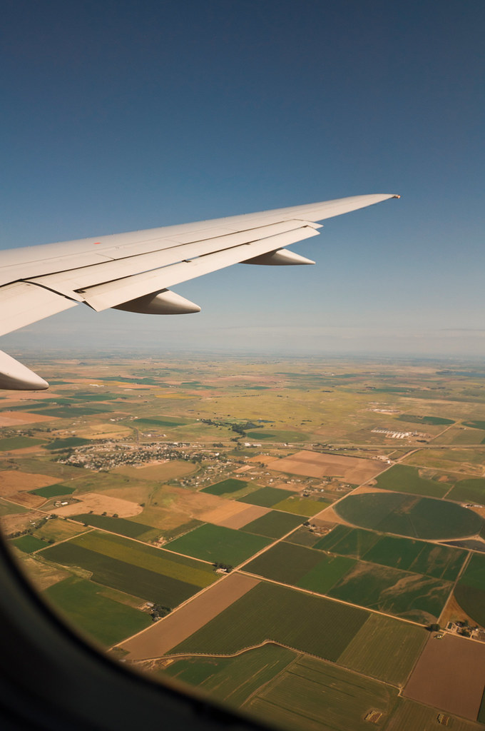
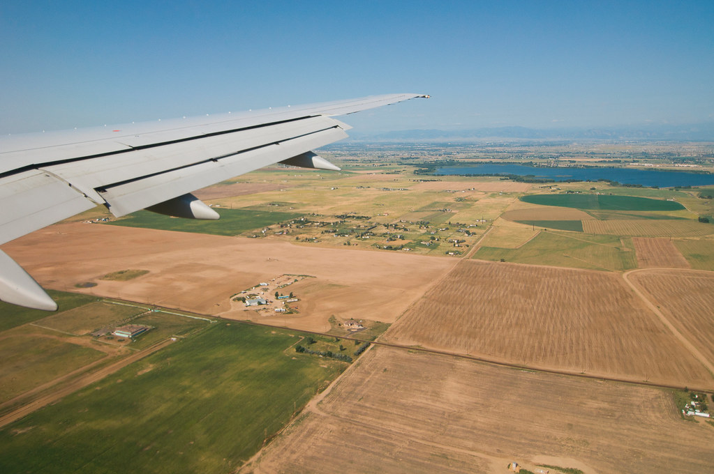
Approaching the Denver airport:

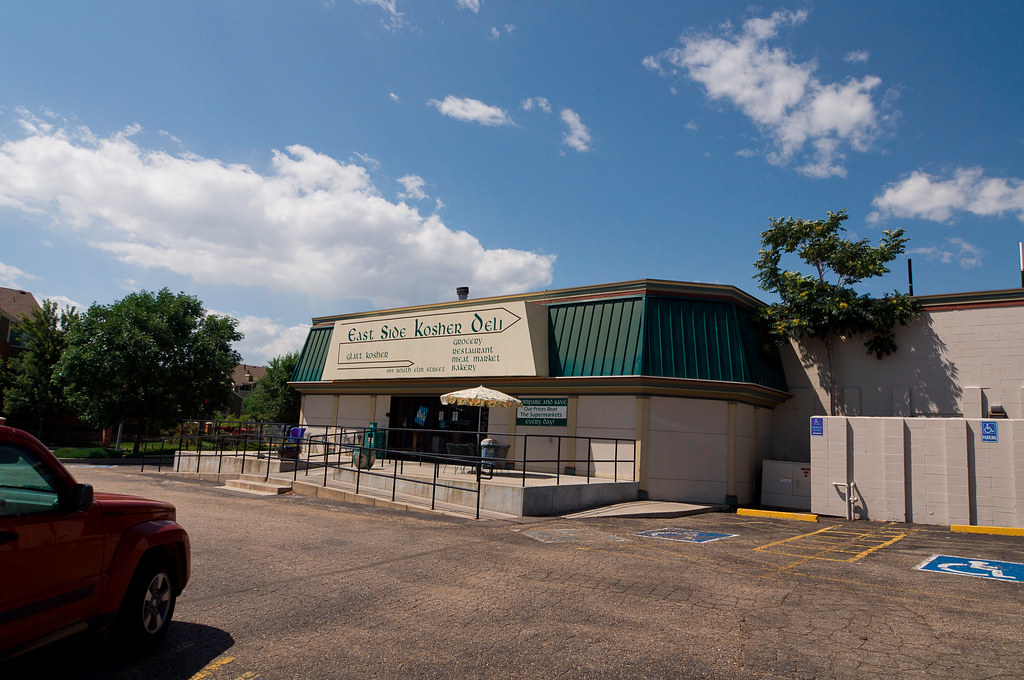
Stopping at East Side Kosher Deli to pick up some food:
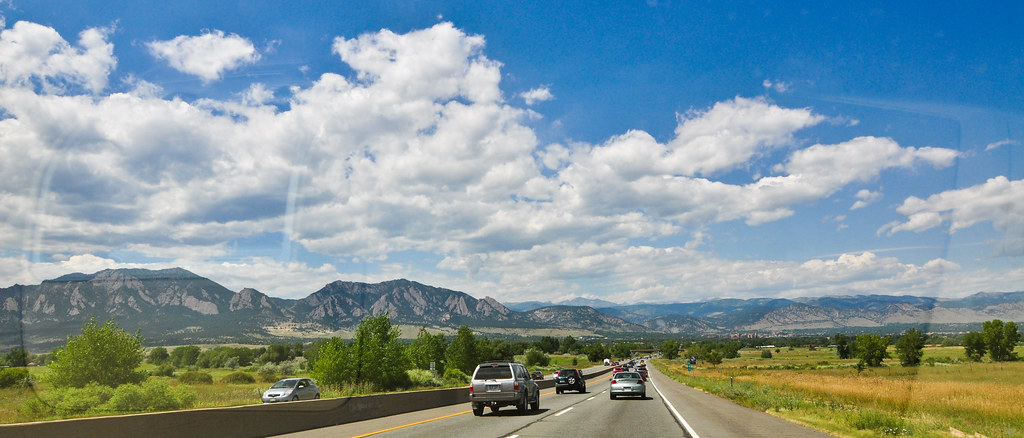
Heading north:
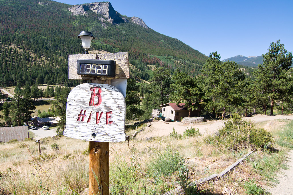
We rented a cabin called the
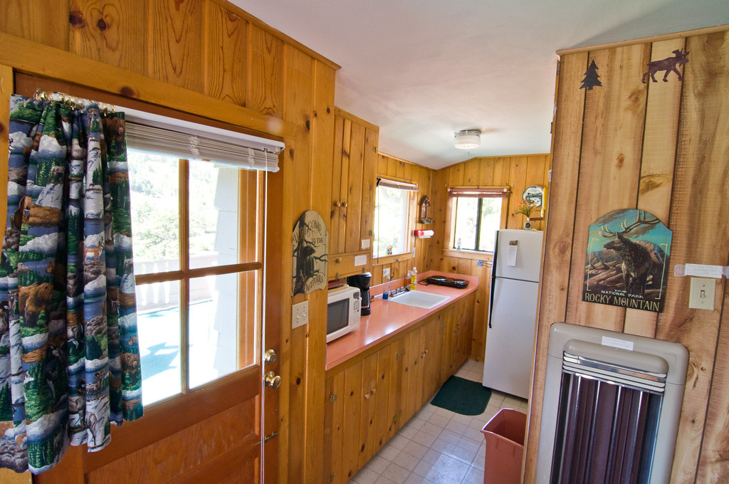
Bee Hive just outside Rocky Mountain National Park, on the outskirts of Estes Park (the town right by the park). It was secluded, rustic, and tiny - absolutely perfect for a mountain vacation.
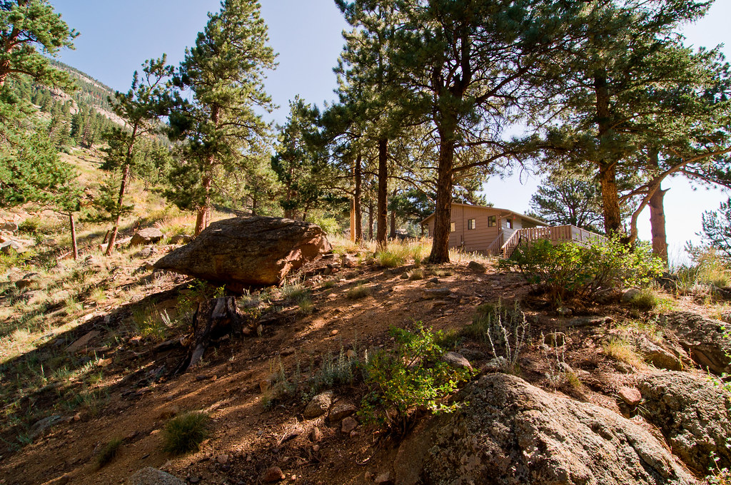
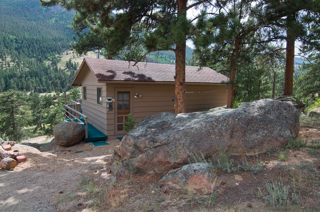
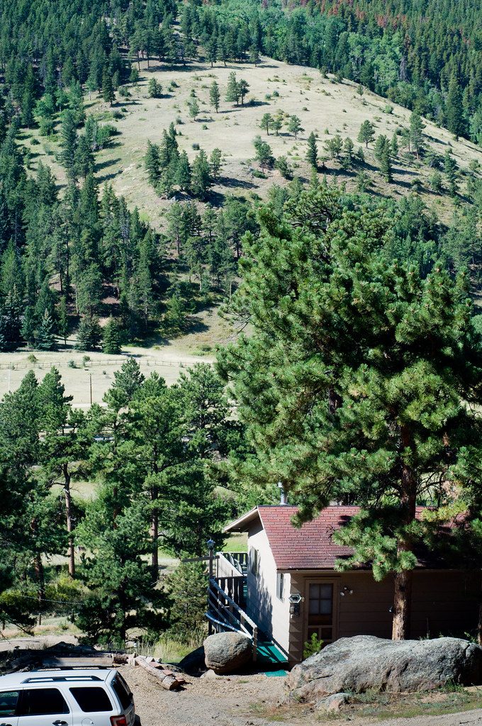
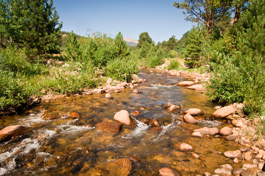
The Fall River right in our backyard:
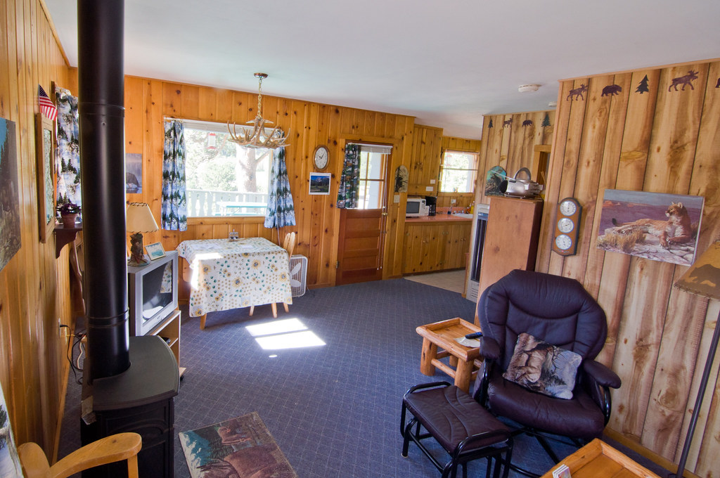
The inside was small but perfect:
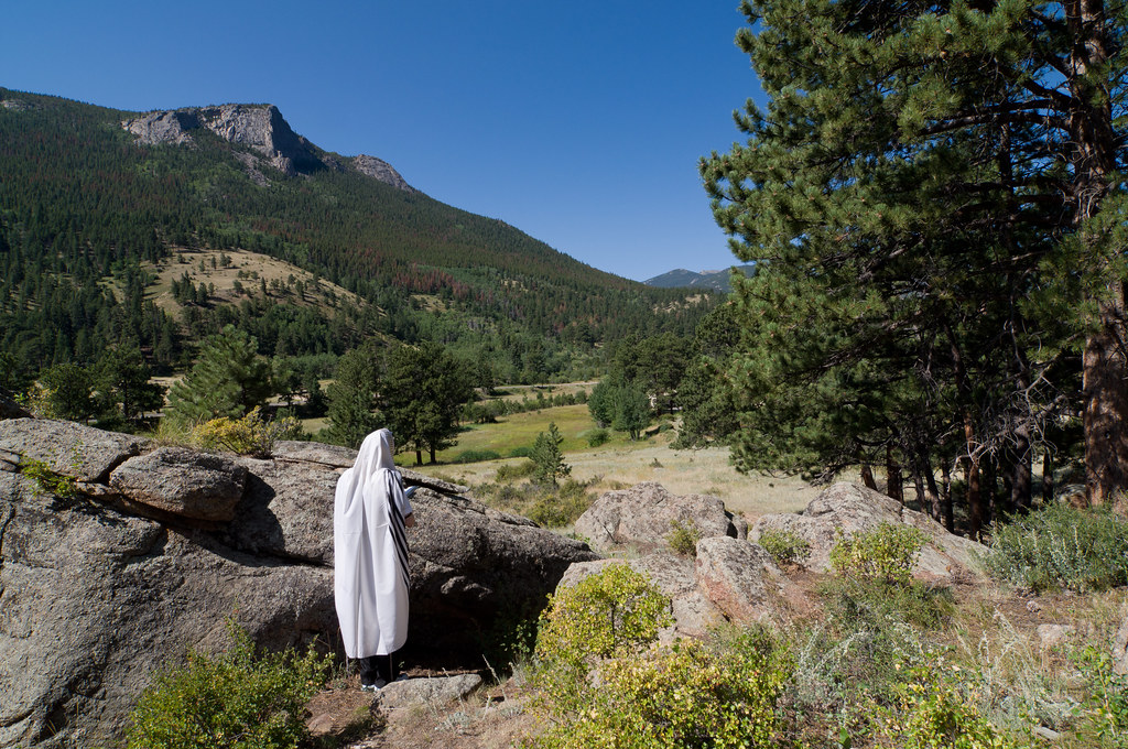
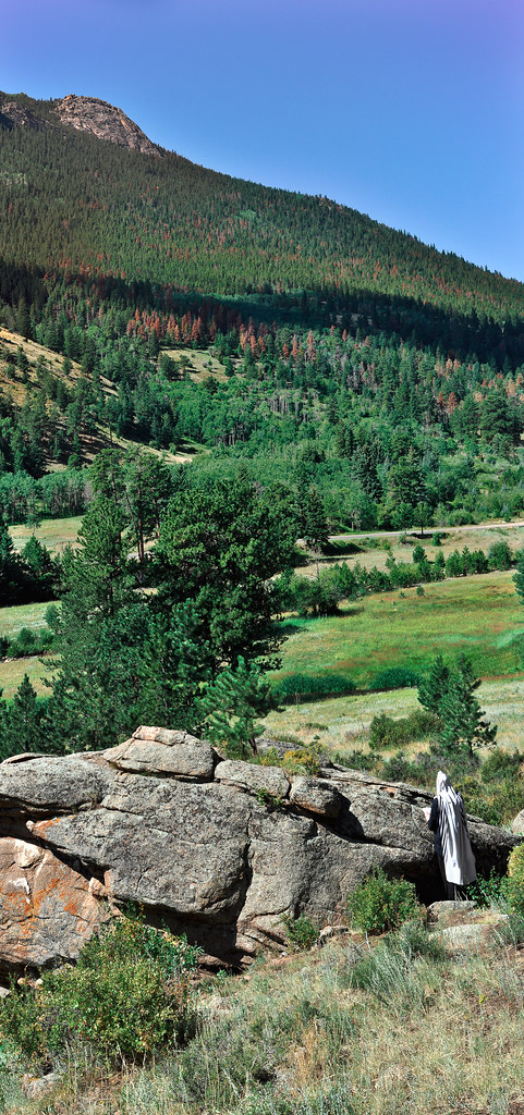
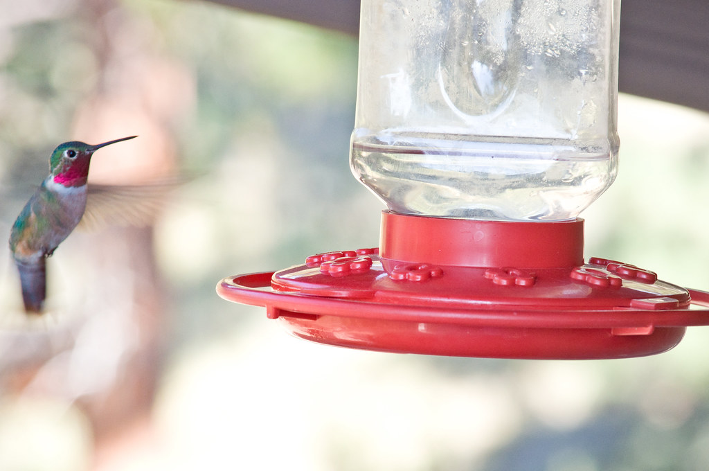
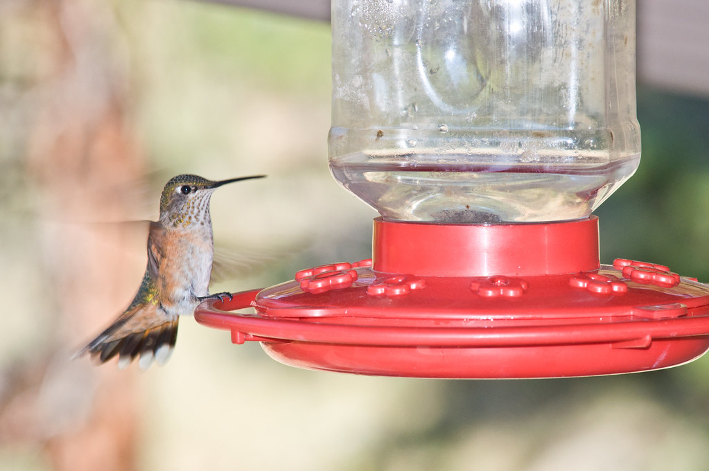
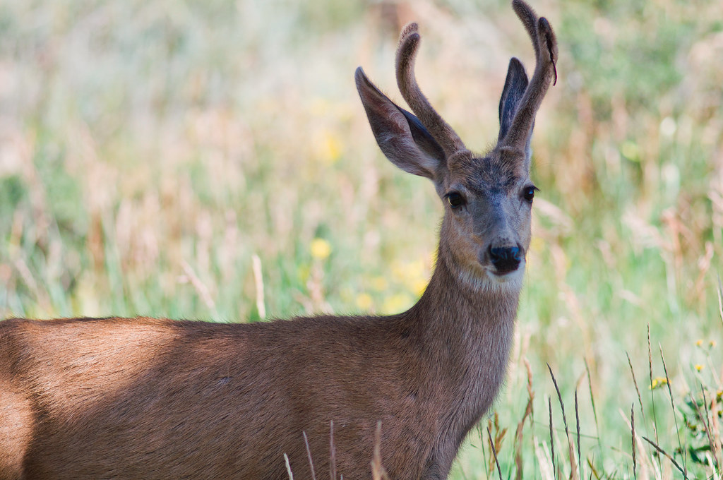
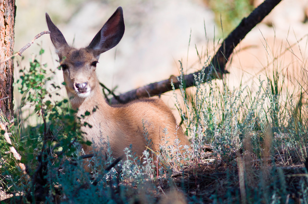
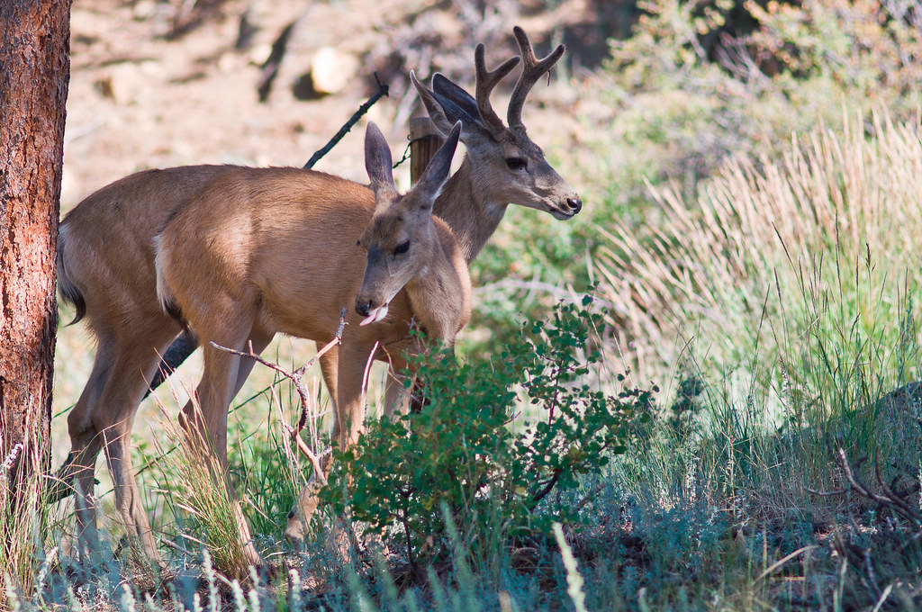
Plenty of hummingbirds and deer in our backyard:
 Day 2:
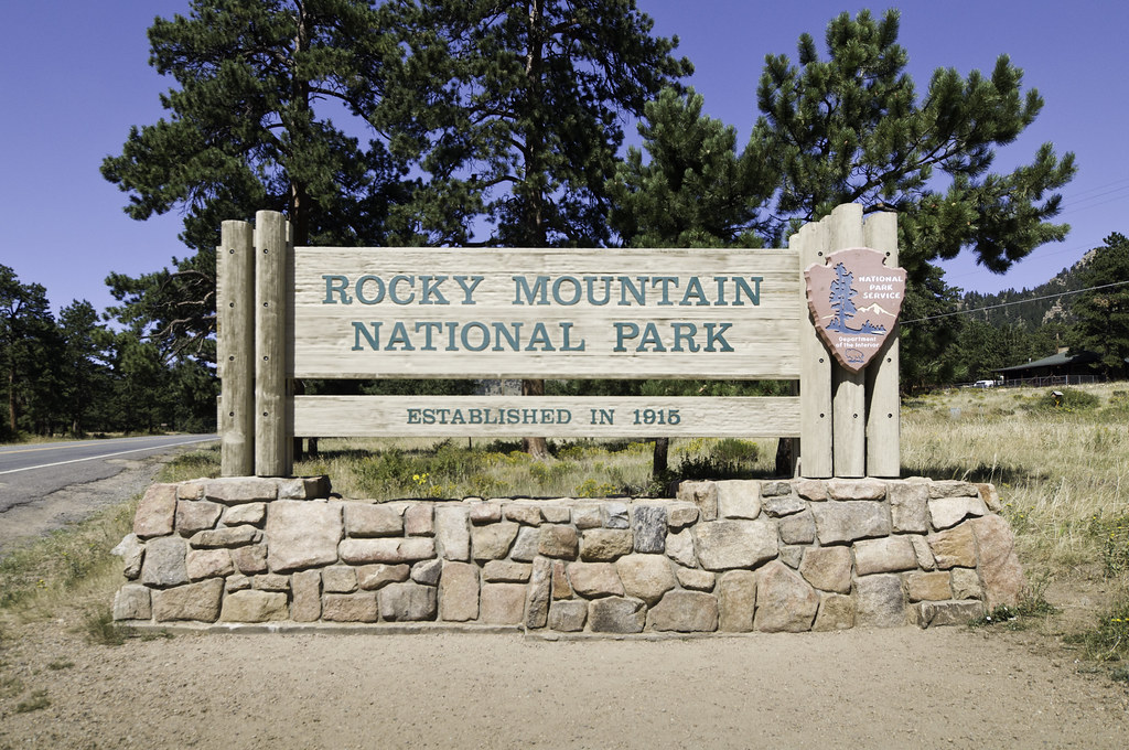
Heading into Rocky Mountain National Park:
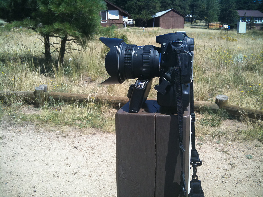
Selfie mode, circa 2009:
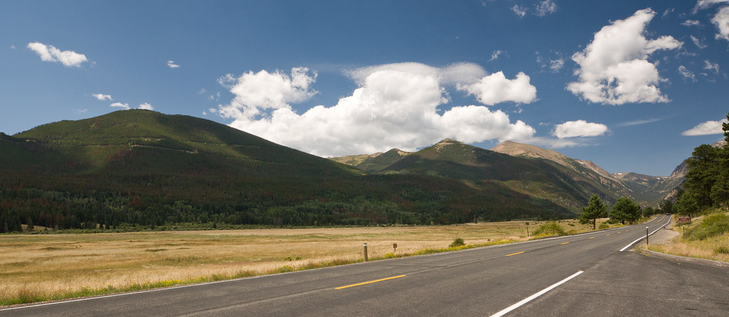
Trail Ridge Road is the highest paved road in North America, climbing to 12,183'. It cuts across the park from east to west, and climbs from the forested foothills up to the alpine tundra, and passing many amazing scenic lookouts along the way.
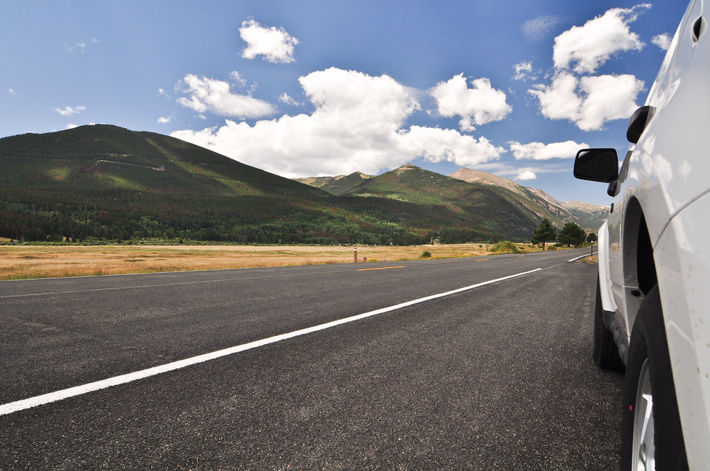
Beginning of the road:
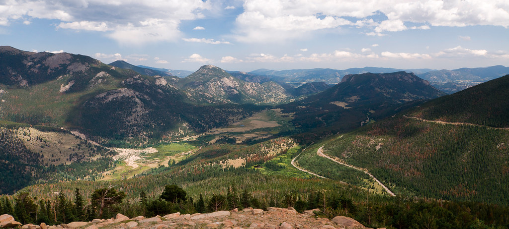
Rainbow Curve is one of the more spectacular lookouts:
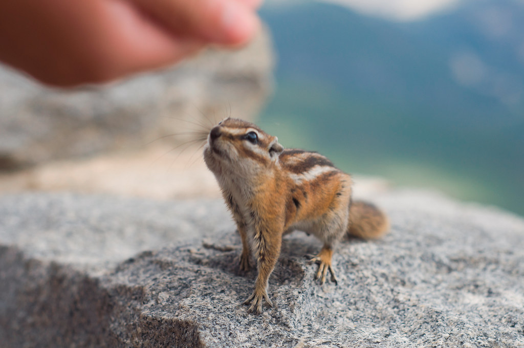
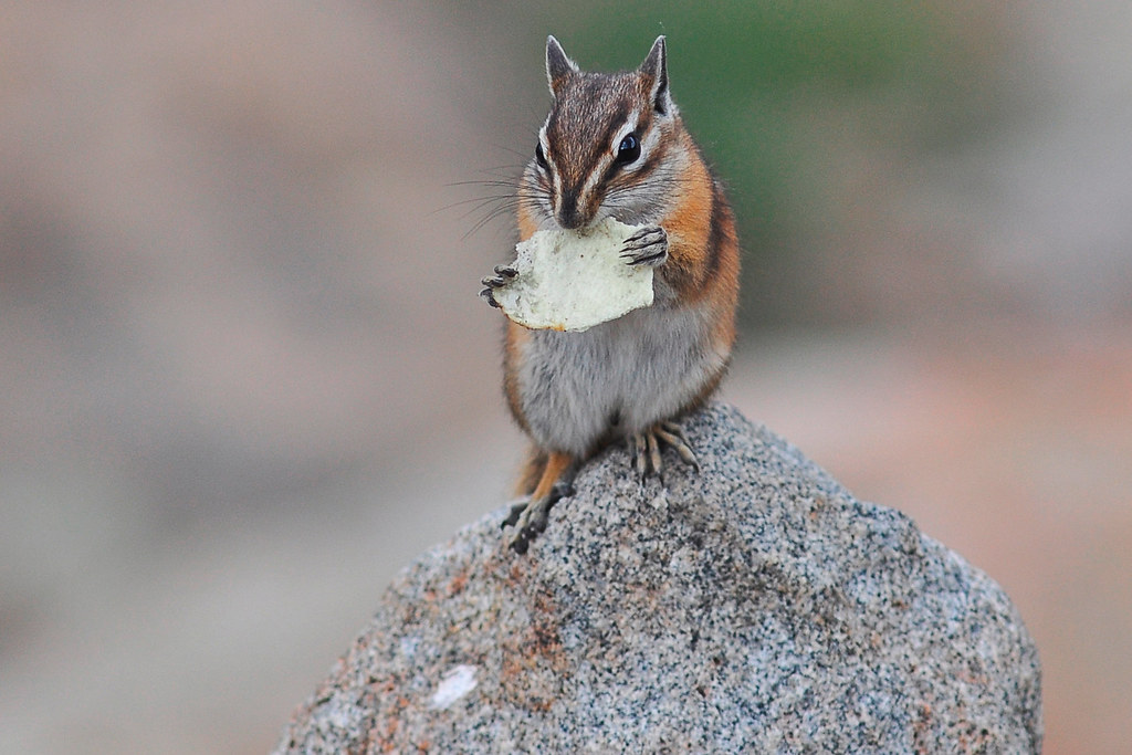
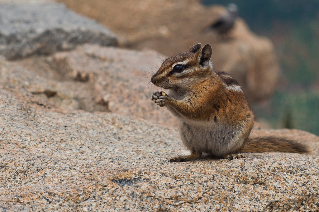
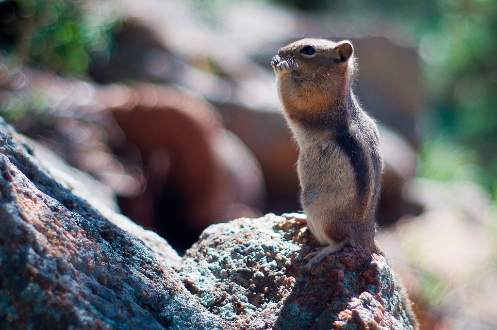
Chipmunks begging for food at Rainbow Curve:
This one scored a potato chip as big as his head:
All this guy got was a tiny seed:
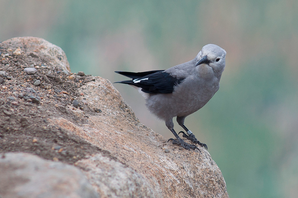
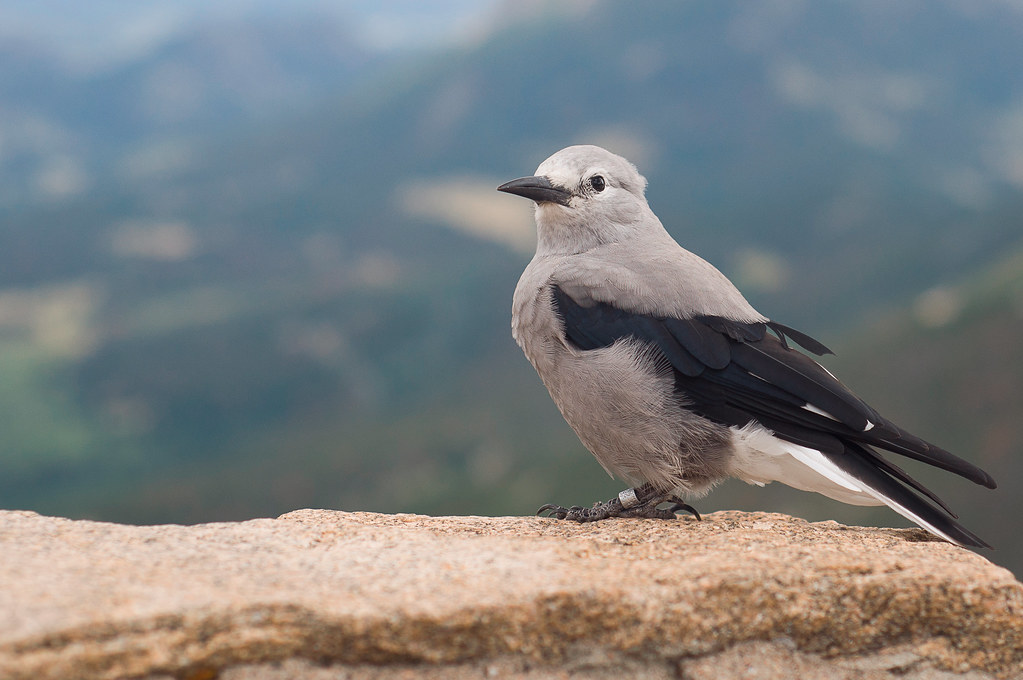
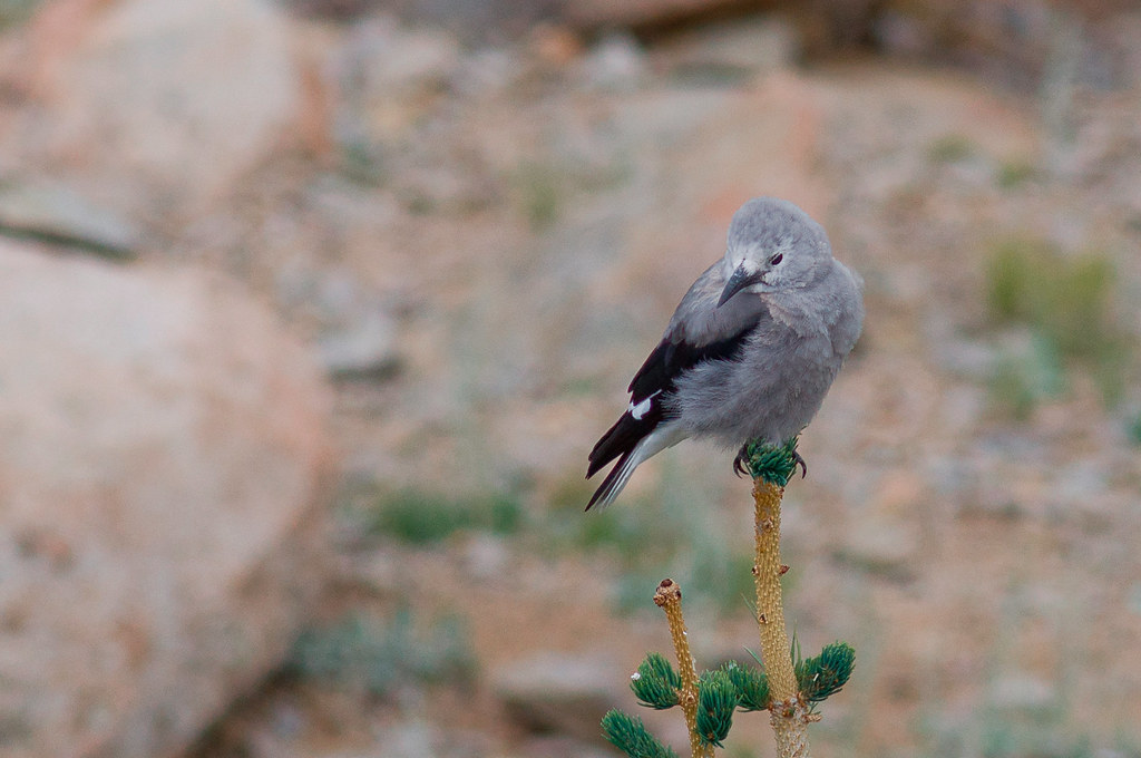
Clark's Nutcracker:
Pretty heart-shaped lake:
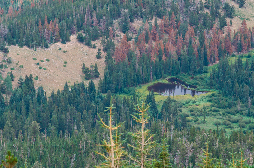
Further up the road the landscape changes. The trees start thinning out and give way to the tundra:

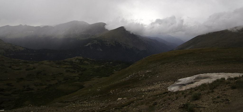
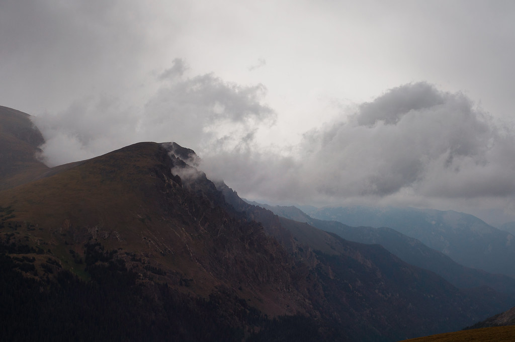
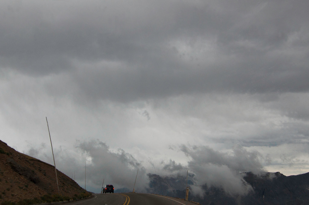
The weather starts getting wilder:
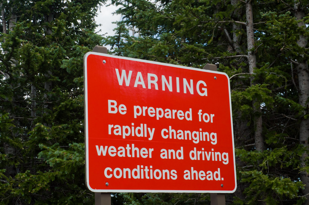
We stopped at Gore Range overlook, as the weather was turning bad:

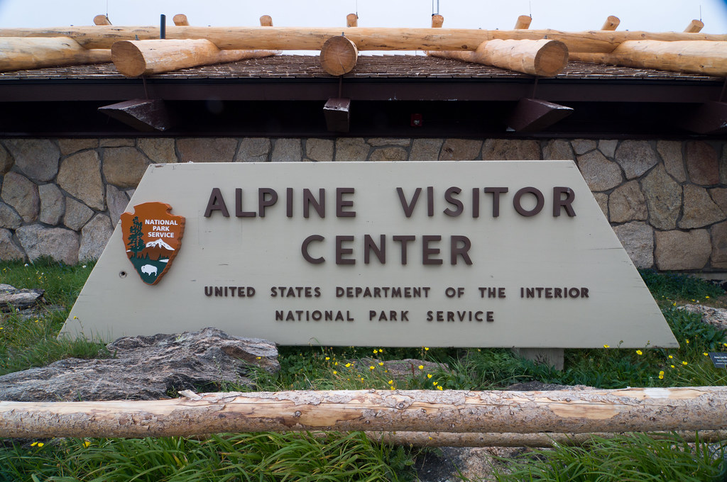
At one point it began snowing (in August!), so we decided to wait out the storm at the Alpine Visitor Center, which sits at 11,796':
There were plenty of snowdrifts around here, causing some areas to be closed:
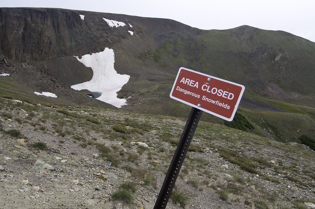
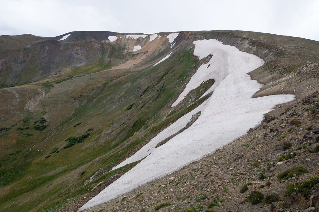
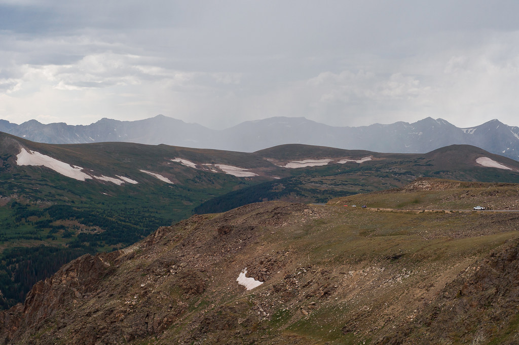
After a while it started to clear, and we headed back down the mountain. Luckily none of the snow ended up sticking:
 Day 3:
Route 7, next to Allenspark, CO:
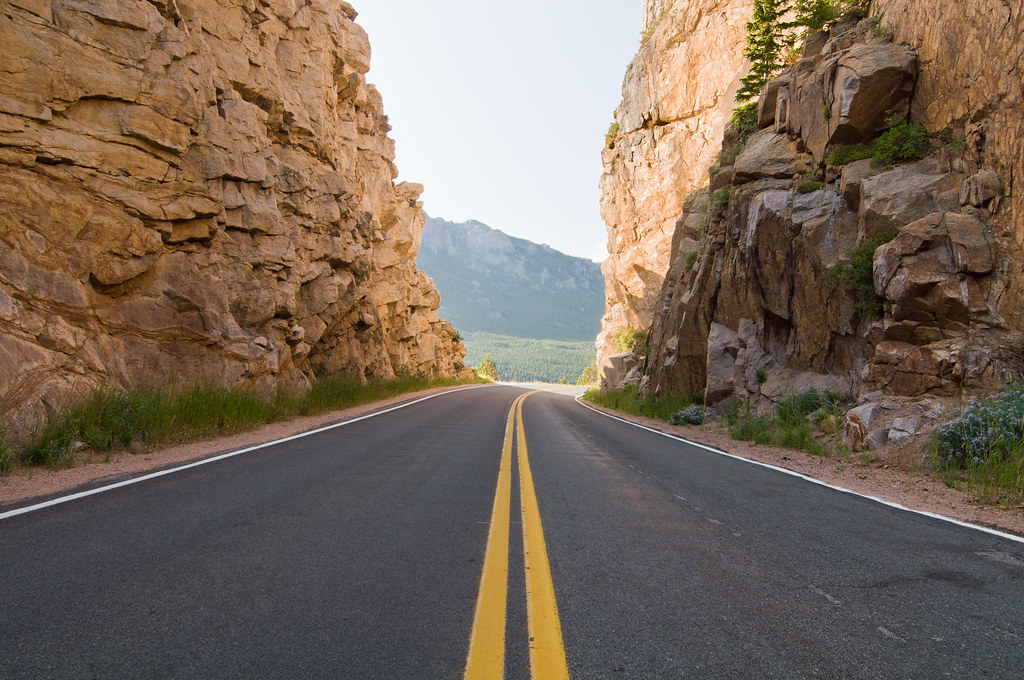
ATVing in Roosevelt National Forest.

Mount Meeker, the second tallest peak in the park, seen from Route 7:

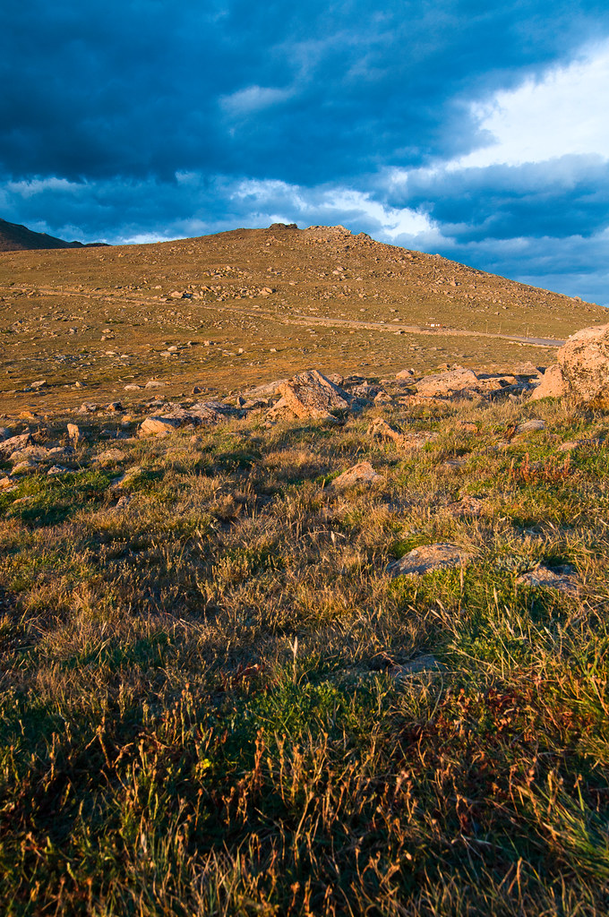
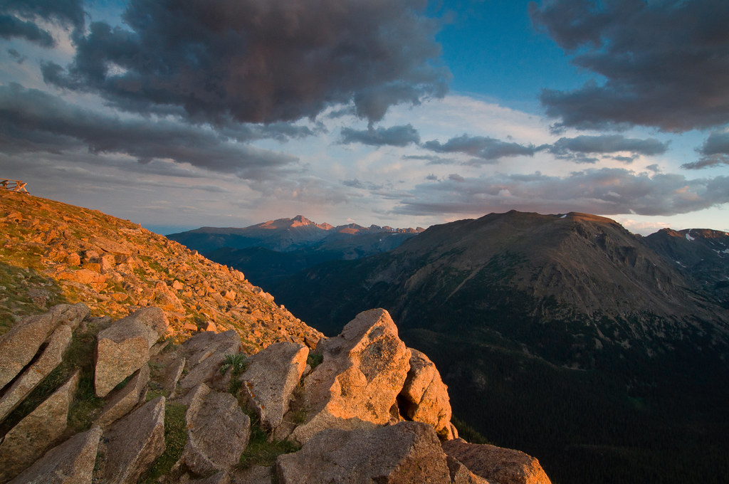
Sunset from Forest Canyon overlook on Trail Ridge Road:
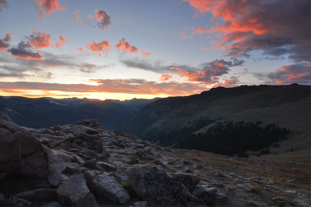
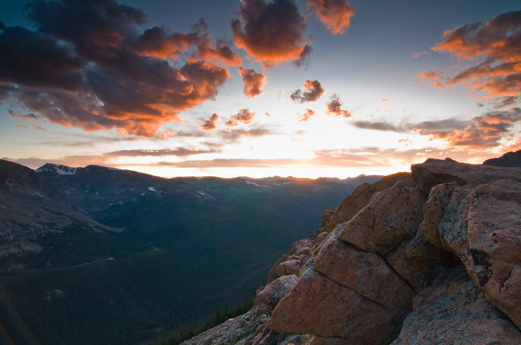
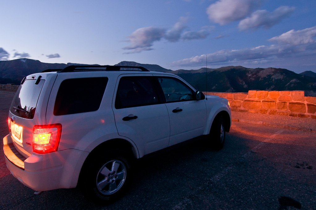 Day 4:
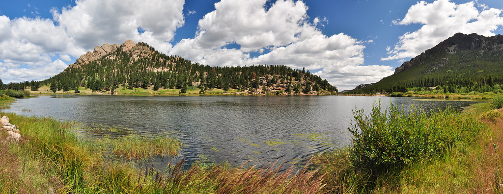
Back in Rocky Mountain NP, hiking Lily Ridge Trail around Lily Lake:
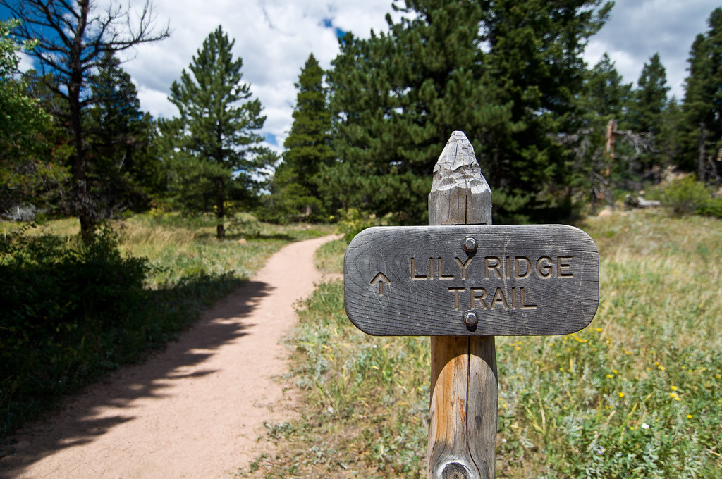
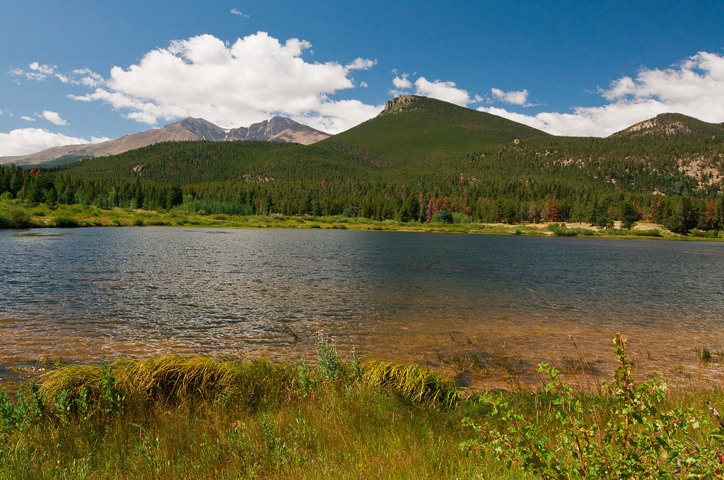

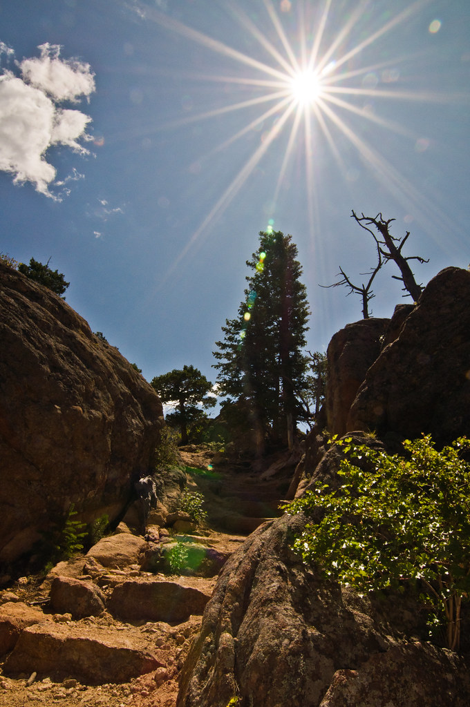
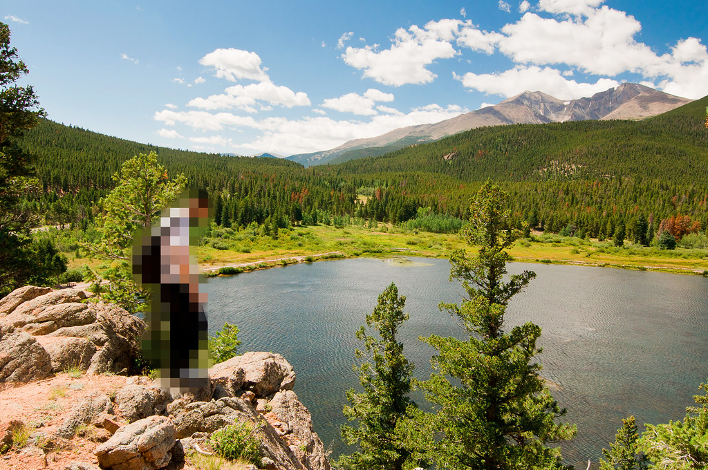
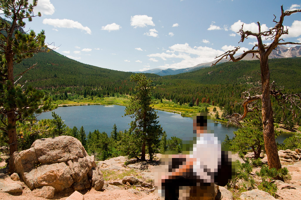
Hiking 6 miles to Mills Lake:
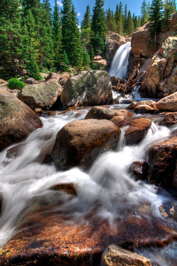
Stopping Alberta Falls:
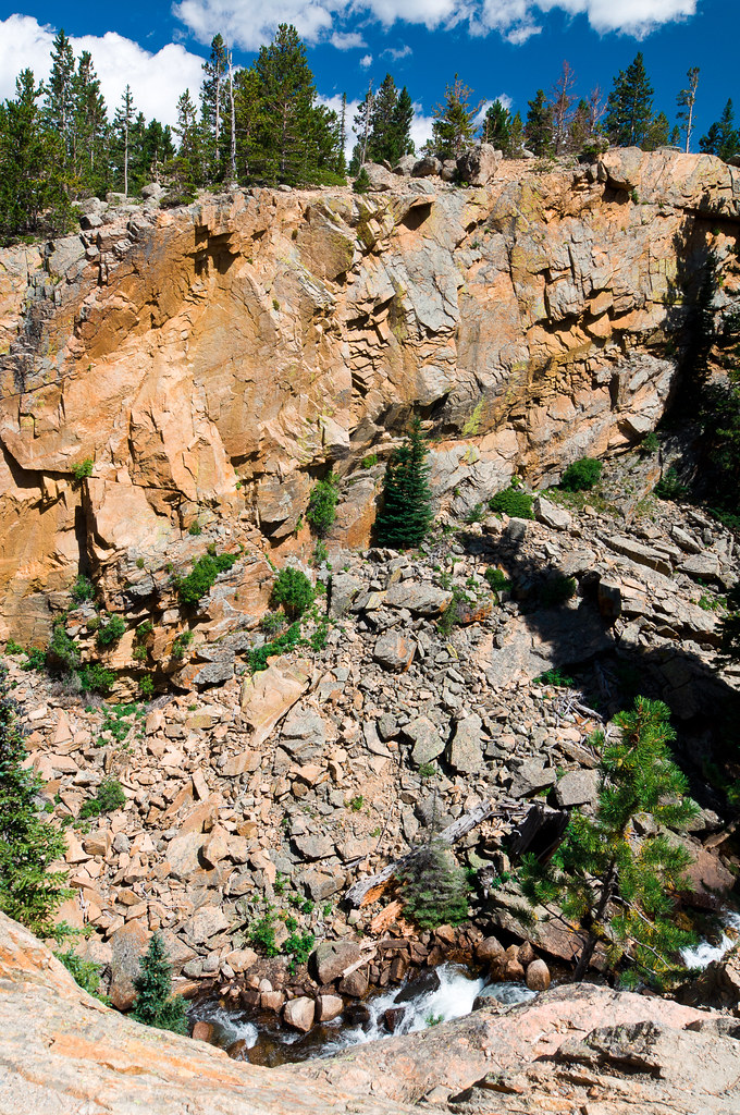
Alberta Falls gorge:
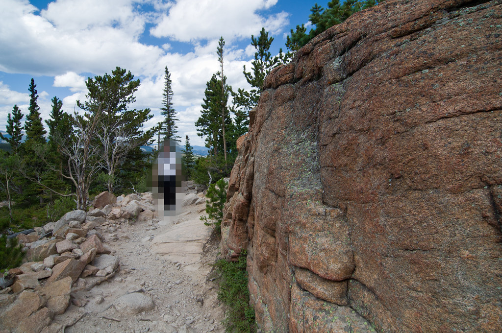
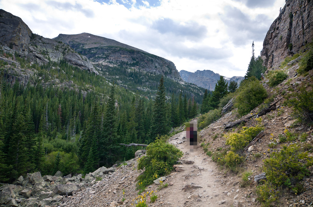
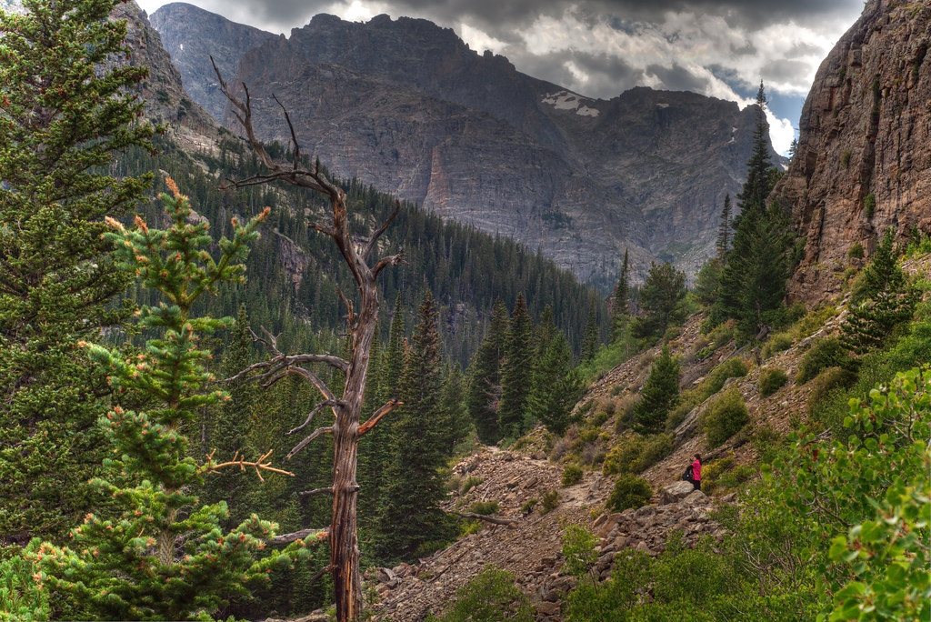
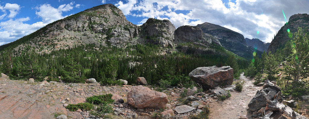
Mills Lake:
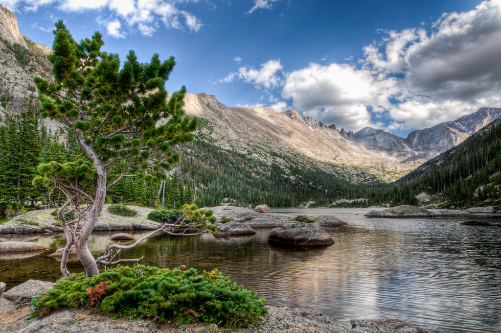
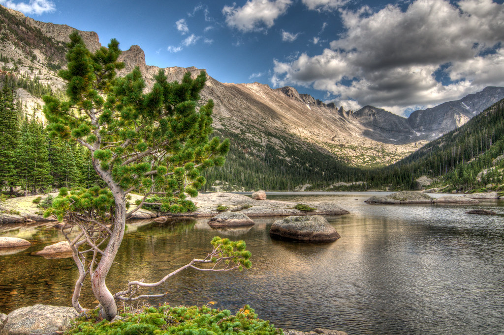
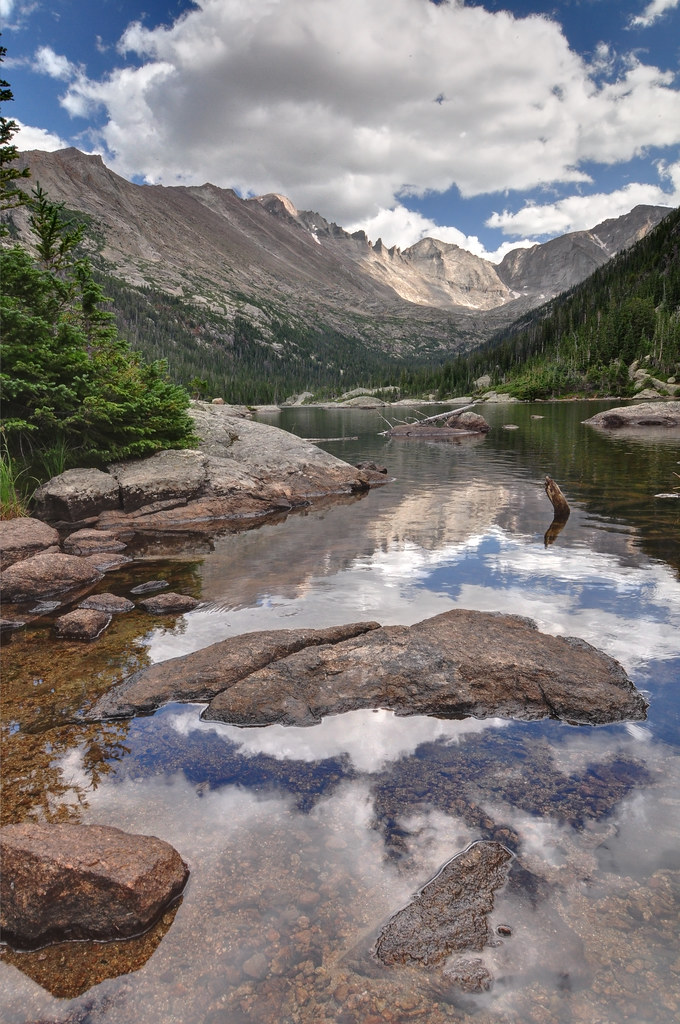
Keyboards of the Wide formation behind the lake. The formation is part of Longs Peak, the tallest mountain in the park at 14,259':
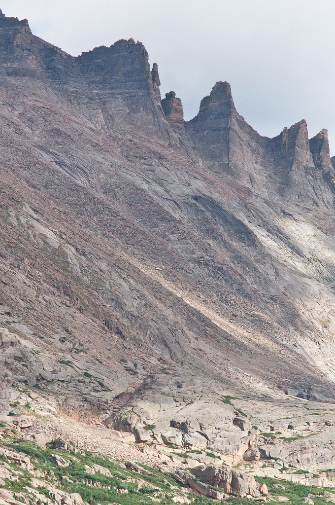
Heading back:
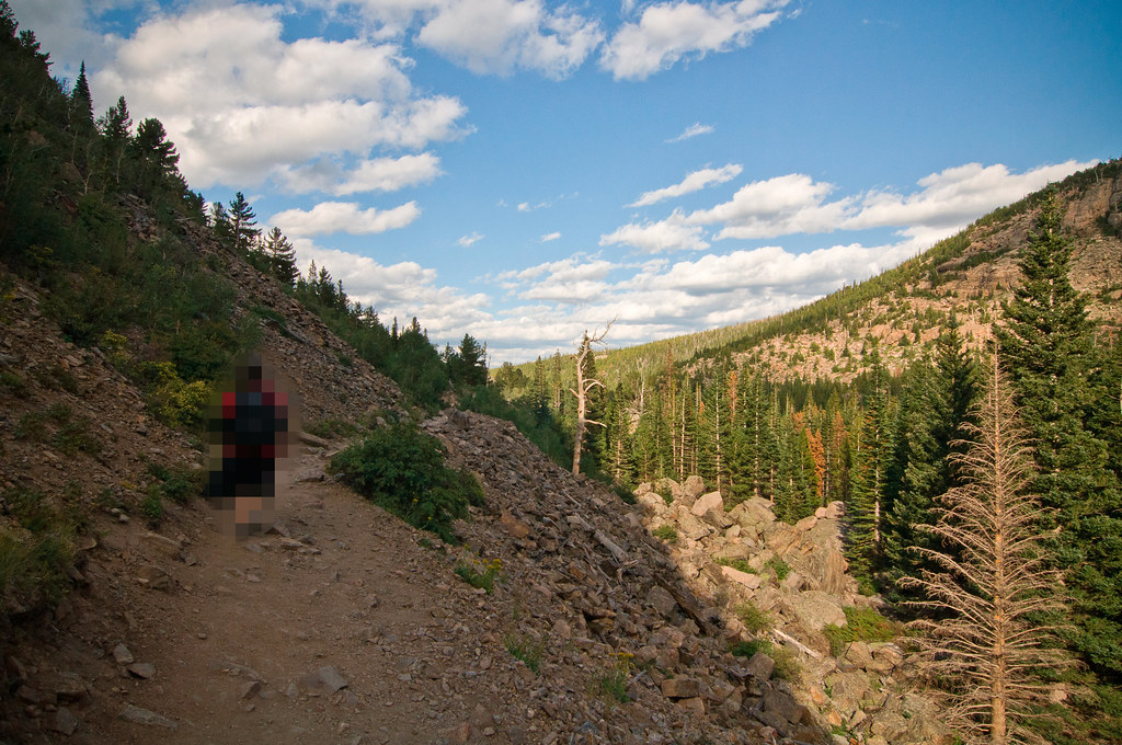
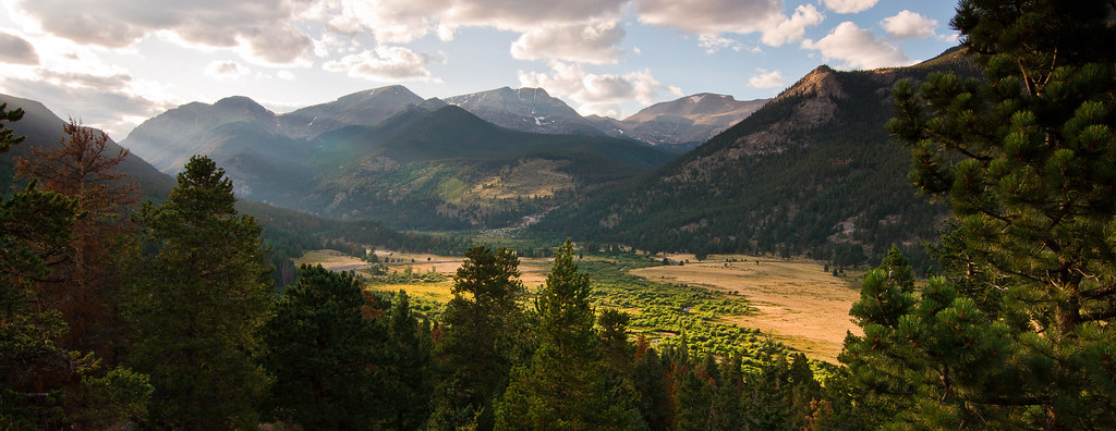
Late light over Upper Beaver Meadows and the Continental Divide:
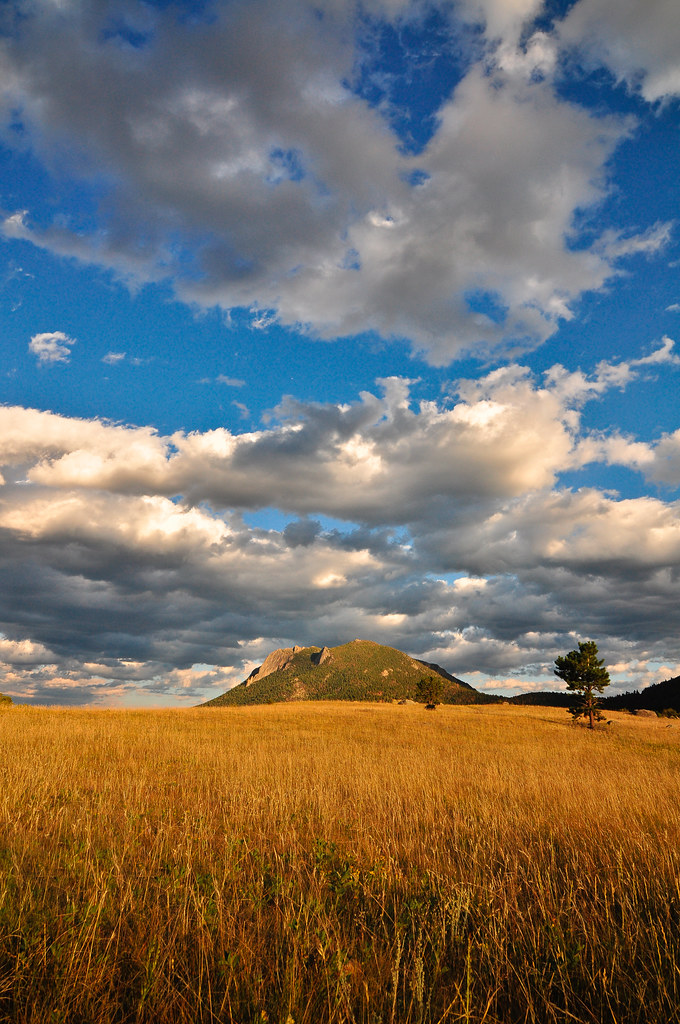
Deer Mountain:
 Day 5:
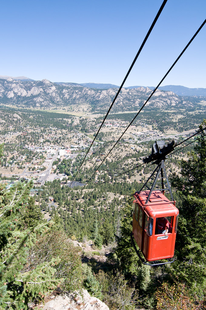
Estes Park Aerial Tramway:
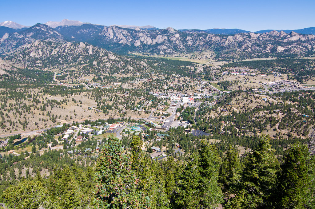
Complete pano (click through for full resolution):

Very <ahem>
tasteful chocolates in the gift shop:

Back to the park:
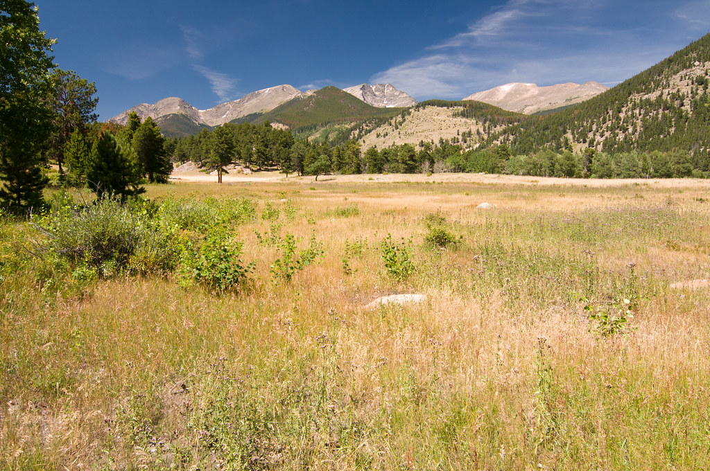
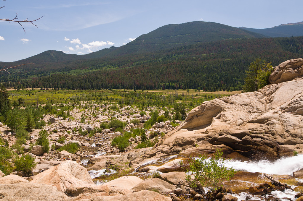
Lawn Lake flood disaster area:
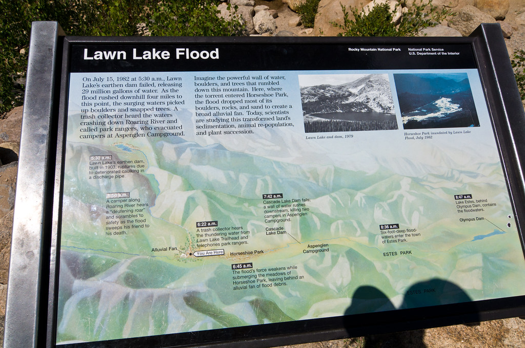
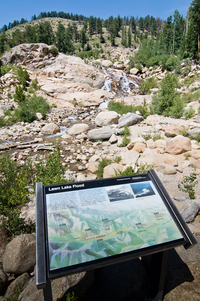
View from the top:
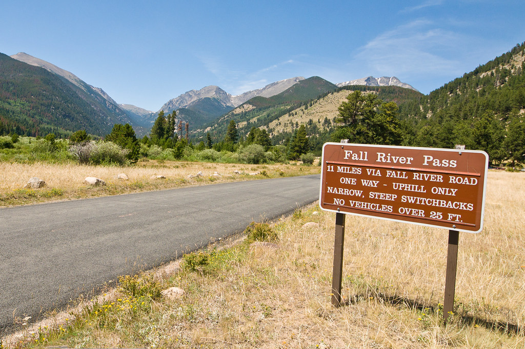
Heading up Old Fall River Road. It starts out pretty nice...:
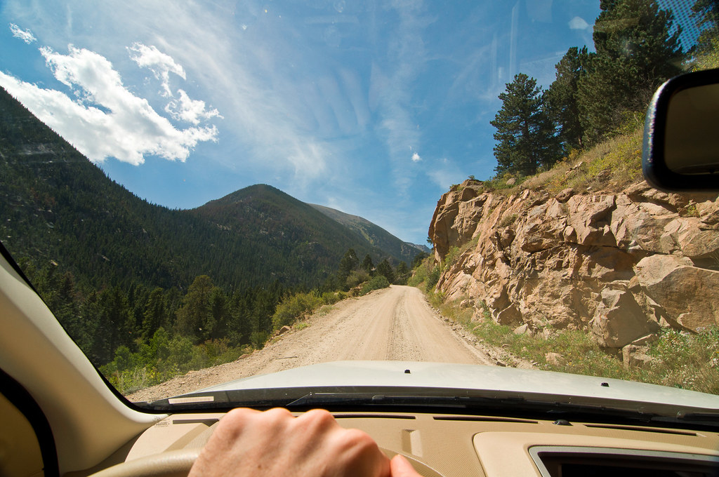
But pretty soon turns into a terrifying track:
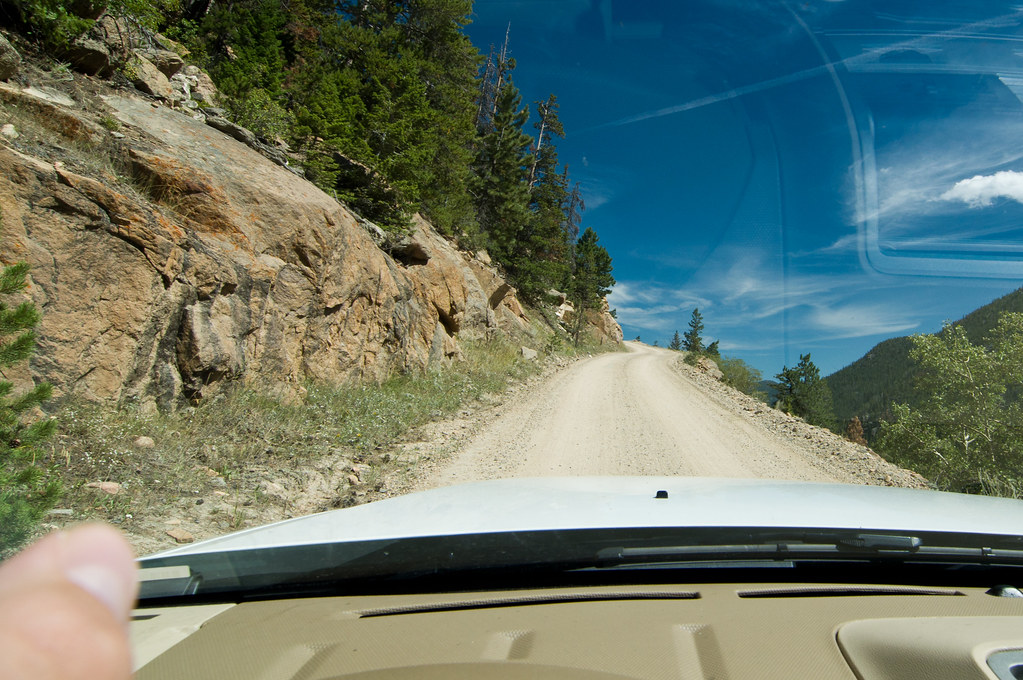
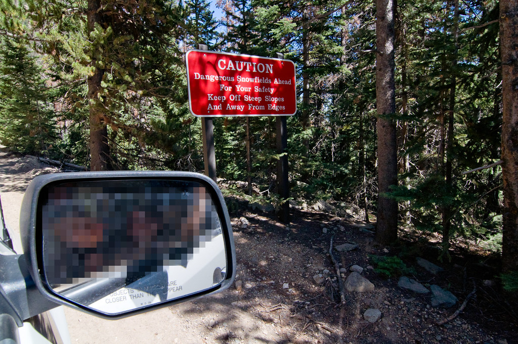
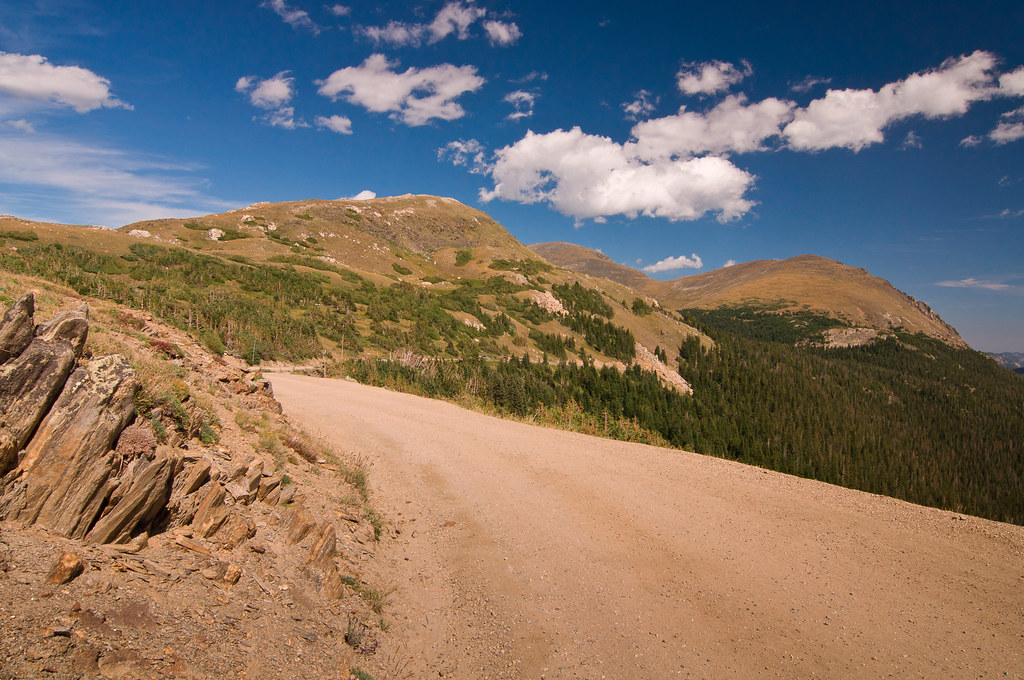
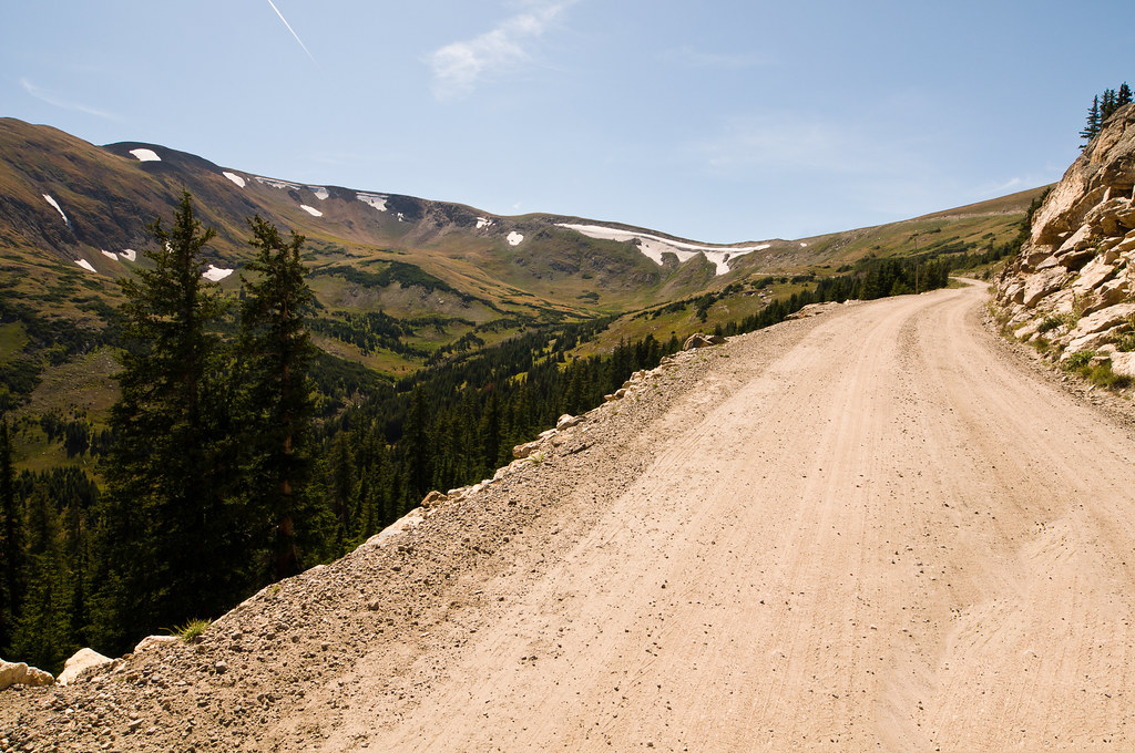
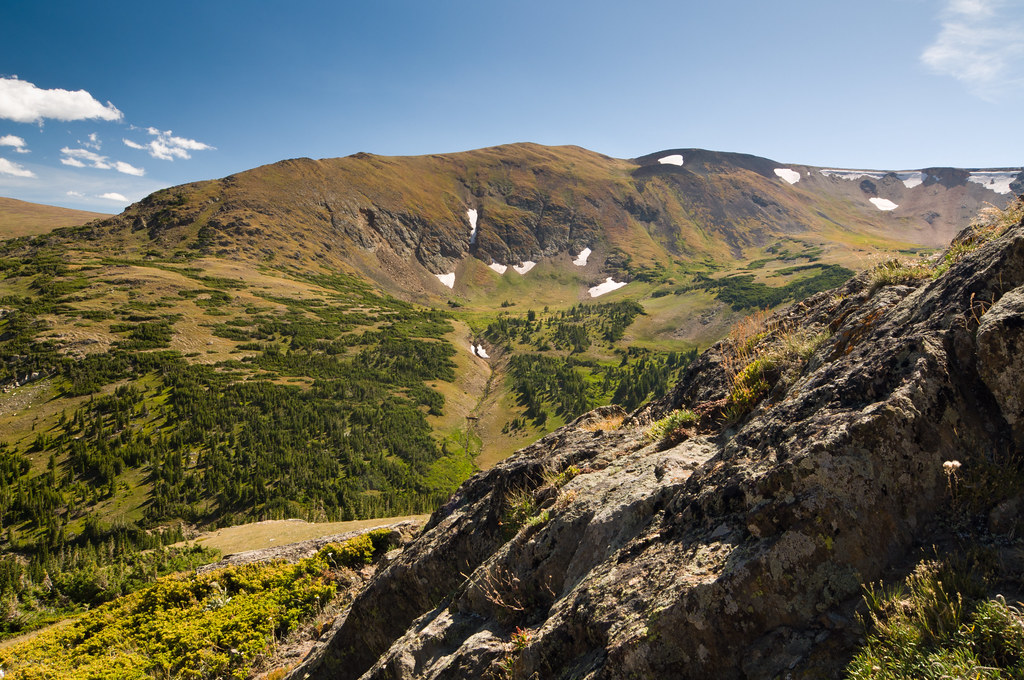
And then it heads above treeline:
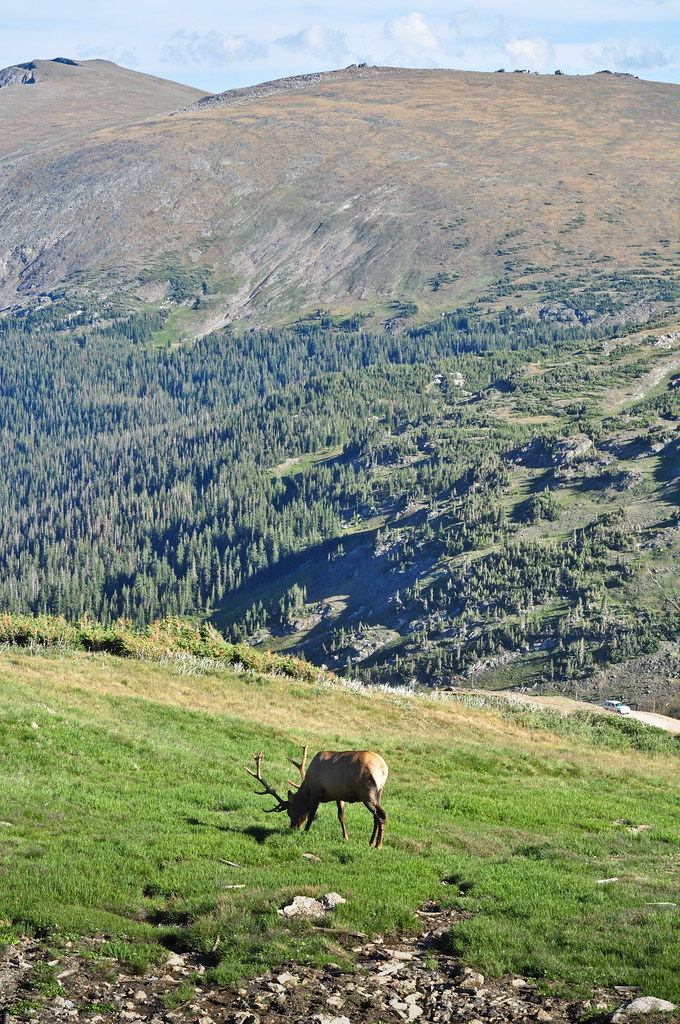
Elk:
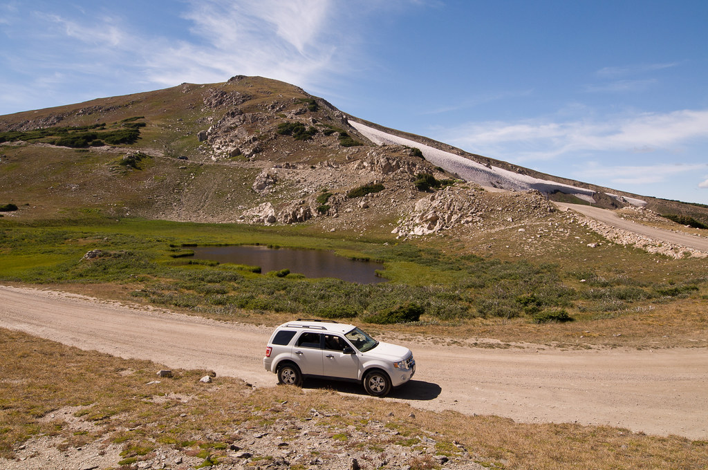
Hiking up Marmot Point:
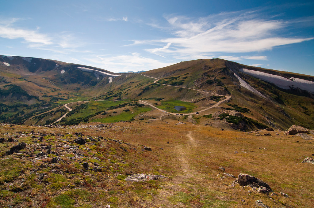
View from the top:
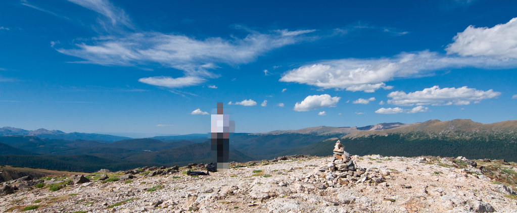
360-degree pano from the peak of Marmot Point - click through for the full-res version:

Heading back down via Trail Ridge Road:
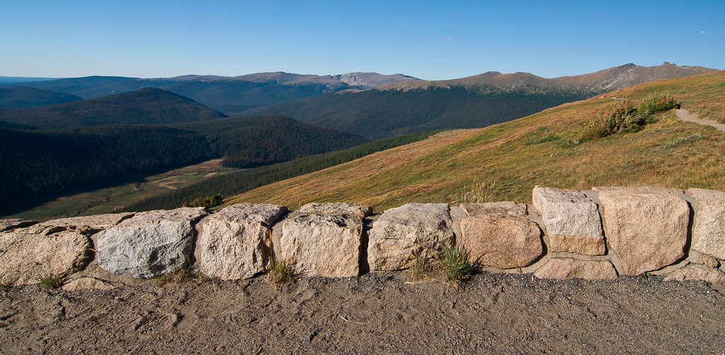
View from Medicine Bow Curve overlook:
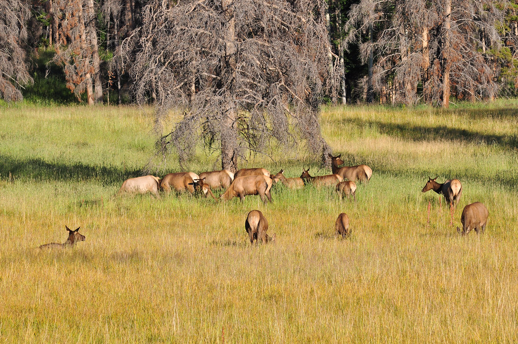
Elk:
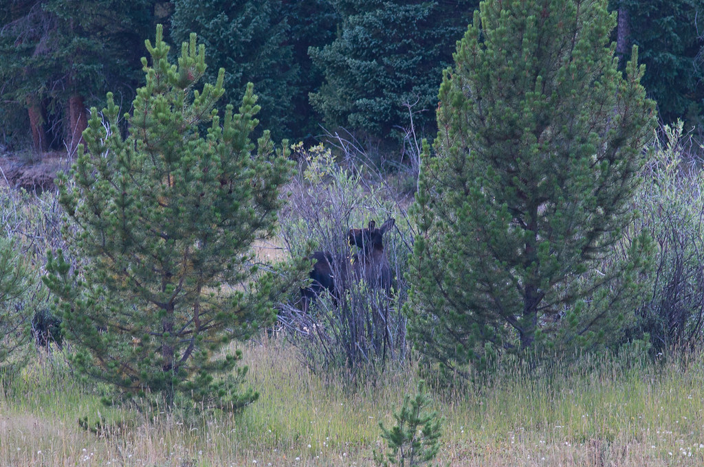
Hidden moose:
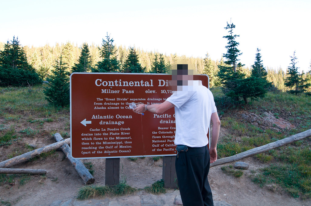
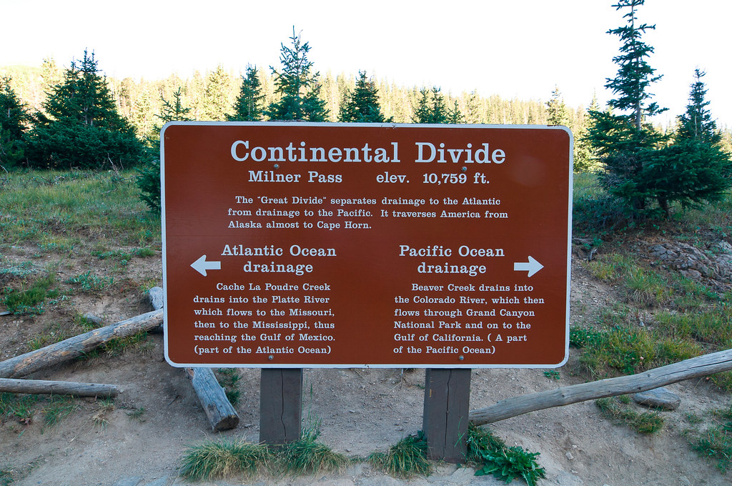
Finishing the trip by pouring water into both the Atlantic and Pacific at once:
