Day 9, Monday:Today was our last on the island.
I woke up before dawn to see if I could catch a nice sunrise over
Hana Bay while my wife slept in. The hotel is fantastically located, just a two-minute drive from Hana Bay and down the street from the Red Sand Beach trailhead.
The beach at Hana Bay is a beautiful crescent of black and white sand with a long jetty off to the right, where I set up and watched the sunrise. After the craziness of the day before, this was a nice change of pace. It was quite lovely sitting there all by myself while the town behind me slept:
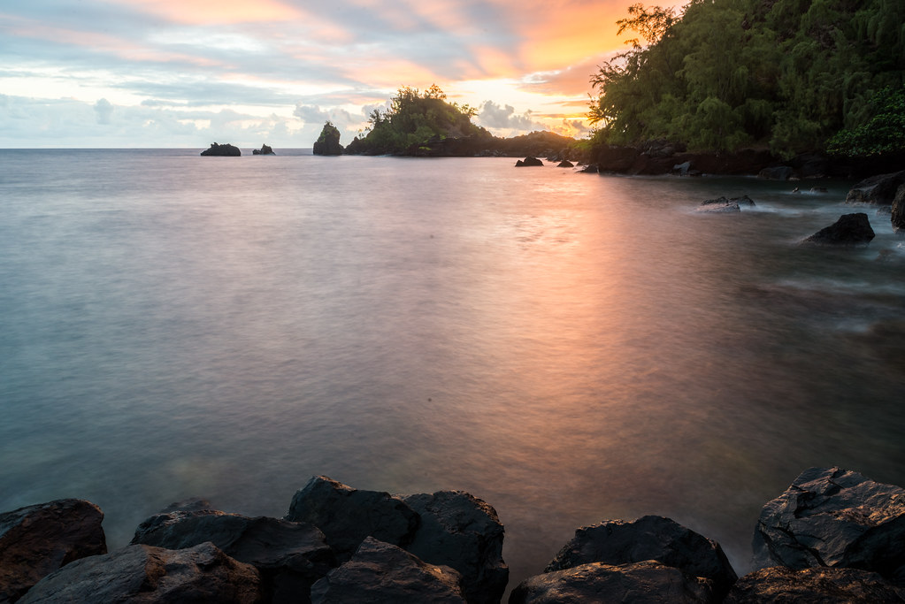
First light hitting Hana and Haleakala behind it:

After sunrise it was still quite early, so I decided to head over to the world-famous
Red Sand Beach (actual name
Kaihalulu Beach). The advantage of going this early was two-fold: I was dying to see (read:photograph

) the beach, while my wife wasn't interested at all. And at 6:30 in the morning, it was virtually guaranteed that I'll have the place to myself.
Getting to this beach is difficult - and dangerous - in the best of times. The trail consists of a notch in the cliff, often only a couple of inches wide. The cliff and trail are both made out of loose volcanic cinders, which makes for extremely unstable footing. The ocean here is ferocious; at times you're 40 feet above the waves crashing on the boulders below. One wrong step and you're toast. The many exposed tree roots along the trail serve as both occasional handholds and terrifying stumbling blocks which have to be climbed over. Thankfully, the trail isn't very long, maybe 1000 feet or so.
I parked at the trailhead (facing the correct direction! The cops here are bonkers about that.) and headed out. It occurred to me (premonition

?) that no one knows where I'm going, so I texted my wife my plans along with my GPS location. The trail is not exactly deadly by any stretch of the imagination, but should I slip or something it could be hours before I'm seen.
Taking the trail nice and slow, it took around 10 minutes until the bend where the beach appears. What an amazing sight! A little beach, red as can be, sat nestled underneath a towering red cliff. A line of jagged rocks stand sentinel and protect the beach from the ocean's fury, where gentle waves lap quietly.
I stood there drinking in the view, when suddenly drip, drip, SPLAT!
In the space of two minutes, the sky had gone from sunny to dark and stormy. The skies opened and it started
pouring.
I knew that I couldn't remain there; there was no shelter whatsoever, and the distant rumblings of thunder could now be heard. Everything I had read about this trail said the same thing: do not even
attempt if it has been raining. Nowhere were there instructions on what to do if you're stranded...
The trail was becoming more dangerous and slippery every minute. I whipped out my camera, took two pictures through the rain (priorities

!), and tried to figure out where to go. I couldn't head down to the beach, since the trail got even steeper in that direction. The only solution was to head back before the trail became impassable.
The return trip was harrowing. The rain had loosened the zillions of cinders on the trail, and every step was a fight to keep from slipping off the edge. If I tried to grab onto the side of the cliff for support I just came away with a handful of cinders. At this point it was lightening as well...
After half an hour or so of this I finally made it back to the car, soaked to the bone but happy to be back on terra firma

.
It of course goes without saying that as soon as I got into the car the sun came right back out


. But success: I got my pictures and made it back alive

:
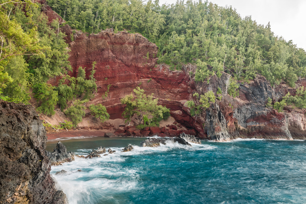
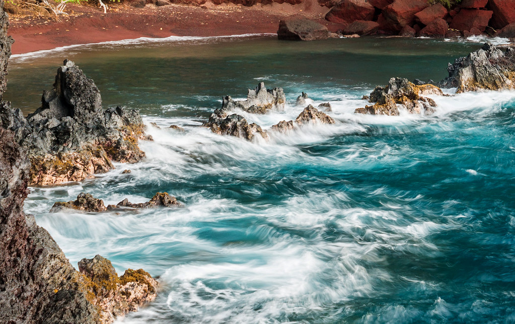
(Unfortunately, the rain made the reds appear brownish. Too bad... But I like the pictures anyway.)
In hindsight, I think it was incredibly stupid of me to head to that beach by myself, without checking the weather forecast and taking along any rain gear. Lesson learned.
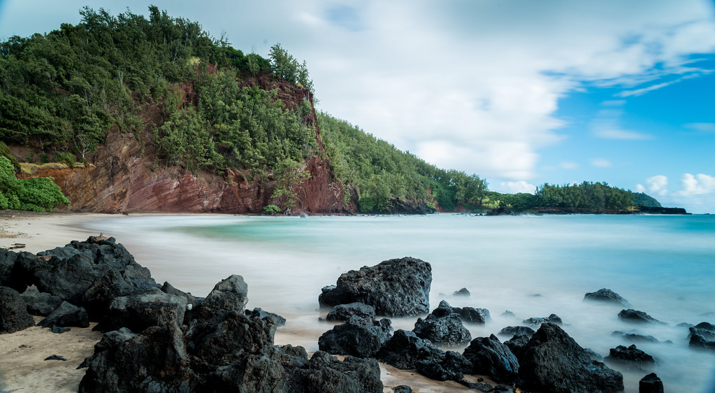
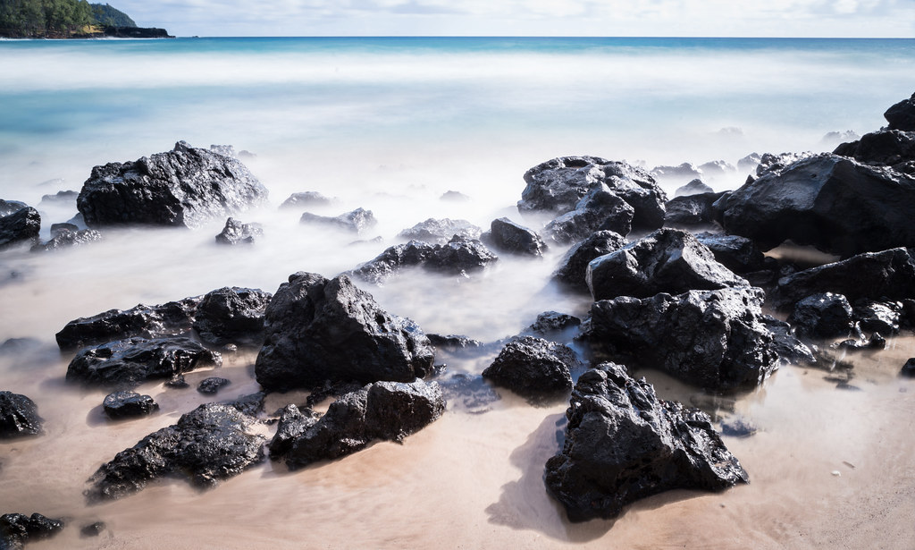
After all this it was still quite early, so I headed for another photo stop at
Koki Beach, around 10 minutes down the road:
I then headed back to the hotel to begin the days "official" activities. The plan was to head to the
Venus Pool after breakfast, hang out there for a while, then back to the hotel to check out. However, when we arrived at the pool's trailhead, there were seven cars parked there already (even though this was still quite early in the morning). This meant that there were at least 15 people sharing the pools already, and this obviously didn't appeal to us in the slightest.
When we had checked into the hotel the night before, we were given a schedule of the following day's activities. These were all free for guests, so we decided to take advantage of 'em. We figured that since we're paying so much more for the night than we had originally planned we may as well get our money's worth. We were also in the mood of something more toned-down, after yesterday's (and this mornings!) excitement.
Unfortunately our first choices didn't fit our schedule, so we went with the archery instructions. It was just us, the instructor, and two other guests, and in a lovely setting up-mountain from the main hotel grounds. While not a typical "Hawaiian" activity and not something we would ever have planned on ahead of time, we ended up enjoying it a lot (even though it turned out that we were terrible at it

).
We checked out at around 11, and headed back on the the Road to Hana and towards
'Ohe'o Gulch. This is better known as the
Seven Sacred Pools, and is part of Haleakala National Park. If you pay the entrance fee for the summit you could show your receipt here and get free entry withing three days. However since we had gone up for sunrise five days ago, we had to pay again. No worries; it was only $10 or so.
The
Pipiwai Trail is also here, and is up the mountain from the parking lot. The Pools are in the opposite direction, towards the ocean. Our plan was to head down to the pools, and then do at least two miles of the Pipiwai Trail (till the bamboo forest).
In the parking lot we bumped onto the local Chabad Shaliach and a couple he was escorting. We had a nice conversation, and he suggested we join them on the Pipiwai. I was more interested in the pools, so we declined. (This would turn out to be one of the only regrets we had on this trip.)
The hike down to the pools was longer than it seems from the maps, so it took us more time than expected to get down. Quite frankly, I was disappointed when we finally arrived. The place was
packed - there were literally hundreds of people in a fairly small area. True, the falls and pools were beautiful, but you had to see past the group of teens climbing behind the falls, the busloads of octogenarian slowly picking their way from rock to rock, and the piles of kids running every which way.
I had envisioned a quiet and peaceful spot; instead I got a zoo. Supposedly the place is supposed to be empty before 1 o'clock or so (when the RTH day-trippers arrive), but that was definitely not the case that day.
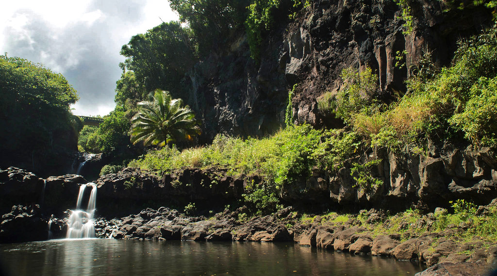
Most pictures of the pools look about the same, so I wanted to see if I could get something unique. Careful positioning enabled me to get a fresh perspective on the oft-photographed scene:
By the time we got back up to the parking lot we were hot, tired, and disappointed. We decided to skip the Pipiwai Trail and move on. Now we were wishing we had gone with the Shaliach earlier; I'm certain it would have been far more fun. From the short conversation we had he definitely came across as someone who it would be great to spend more time with.
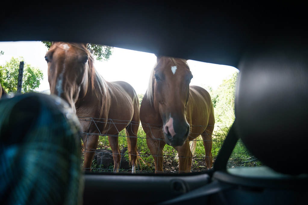
Back on the road:
Past the park is where the road stops being the lush Road to Hana and turns into the wild "other half". Though technically called the
Piilani Highway, it's generally referred to as the other half of the RTH. The road here starts out as a one-lane, generally unpaved road hugging the cliffs. Soon it passes through shrubland and pastures, which eventually changes into bona fide desert, not unlike the American Southwest. Finally it climbs Haleakala's flanks and back to greenery and Kula.
On this half, the road is more about the jaw-dropping scenery than activities, waterfalls, and the like. There's not much to
do here, but I found myself pulling over and gawking at the scenery more often than on the first half.
(Fair warning: there are
lots of road pictures coming up, as that's the star of the show here.)
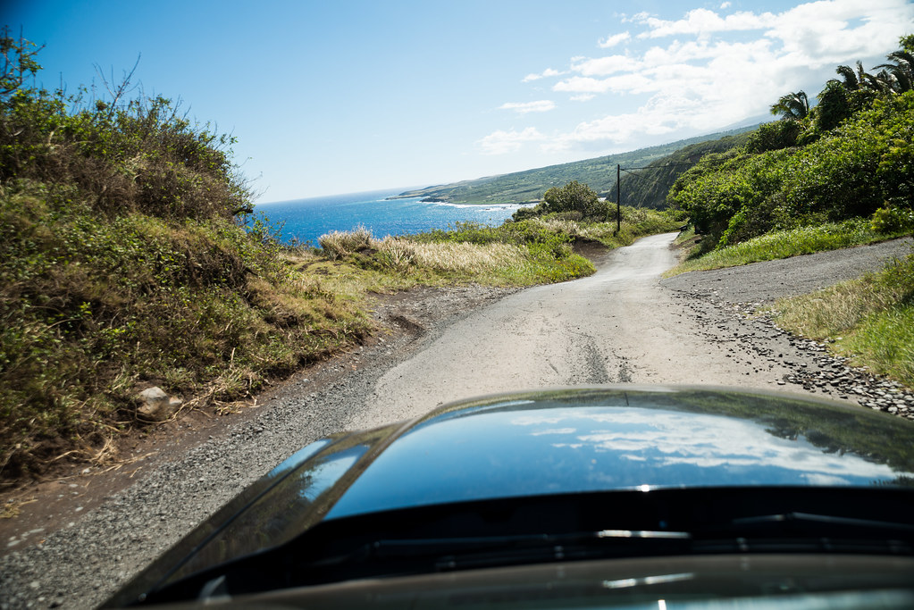
The first part of the road is an astonishingly beautiful nail-biter:
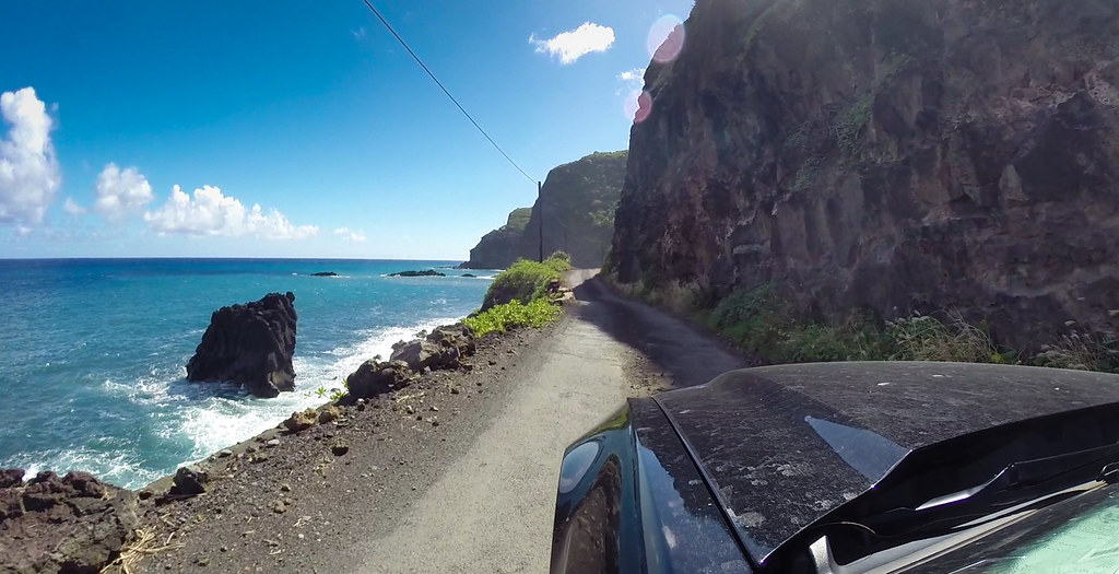
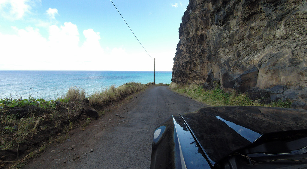
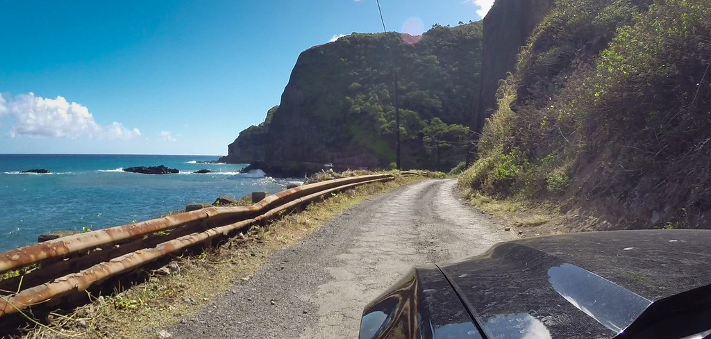
Some spots are downright alarming:
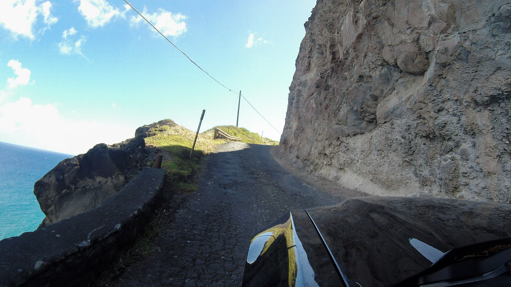
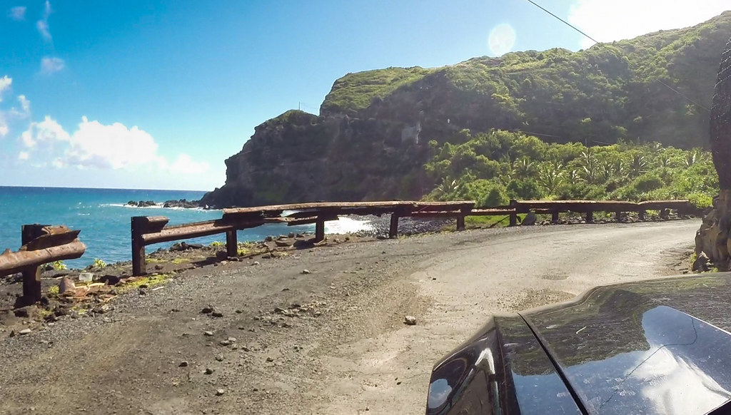
Some areas had guardrails...:
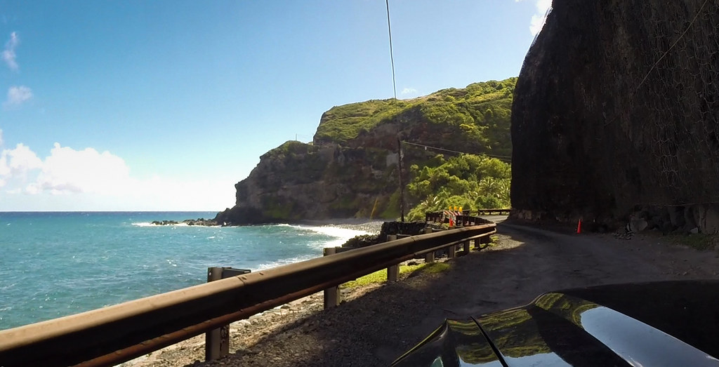
...but most didn't:
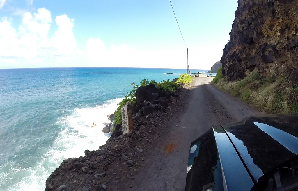
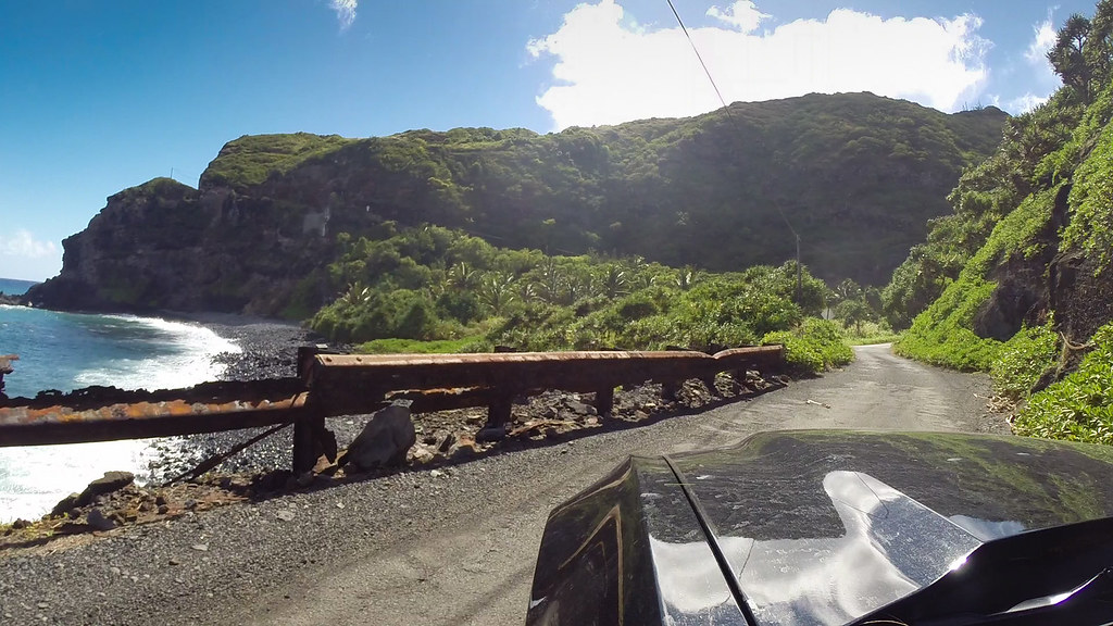
In some areas the guardrail has simply given up:
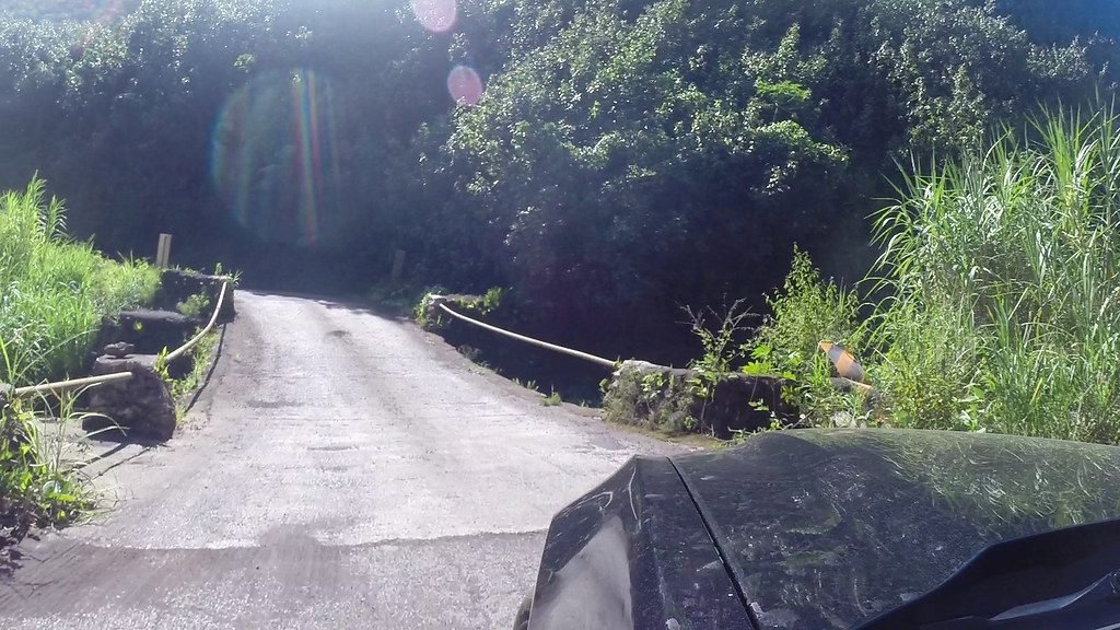
The one-lane bridges are even hairier here than the first half:


A curve in the road takes you back to the jungle for a moment, and reveals a tiny but stunning beach through the foliage. Perfect spot for lunch:
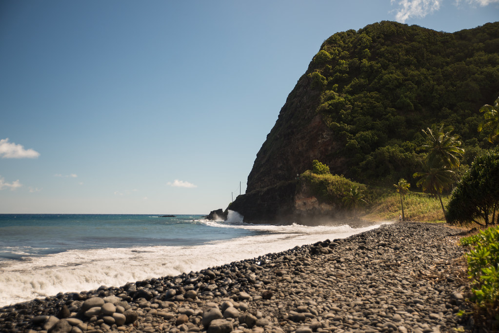
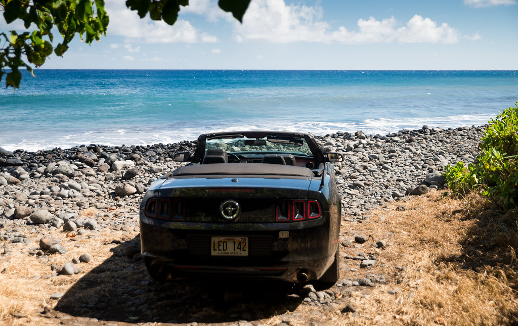


Many people think that a regular car can't make it all the way around. This is simply not true. In fact, there are many large tour buses doing it just fine. Whenever we had one of those behind us, I'd pull over and let him go ahead. That let us keep our pace nice and slow:
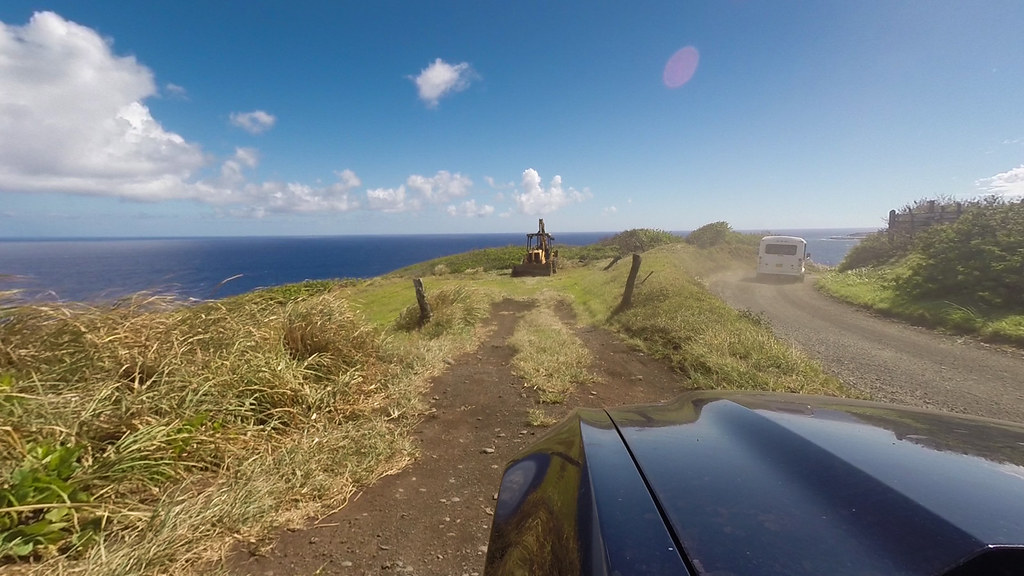
A tiny, localized rain shower up ahead:
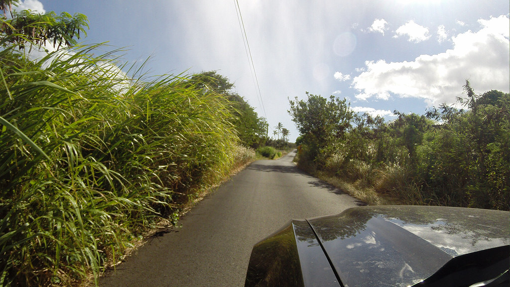
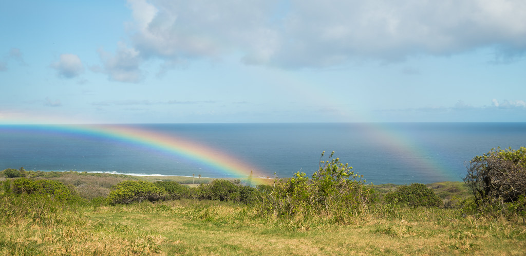
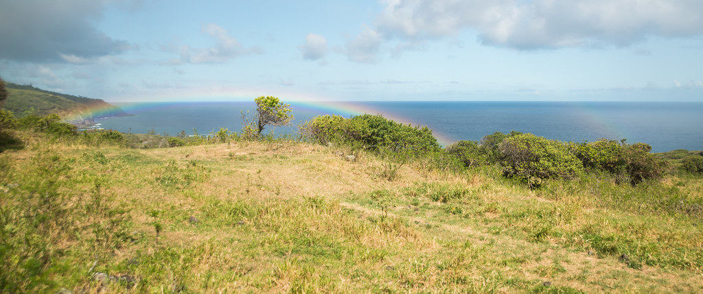
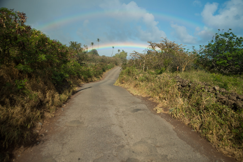
Rain like this means just one thing, so I promptly put my wife on rainbow-spotting duty

. Not five minutes later she called out a target:
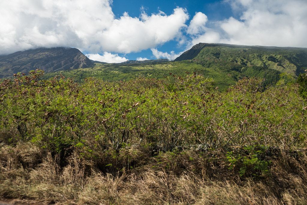
The other side of Haleakala's
Kaupo Gap:
Another beautiful double rainbow:
Slowly the road went from green jungle to scrubby land. With this change came the cows: dozens of them, in multiple herds, meandering mindlessly wherever they pleased:
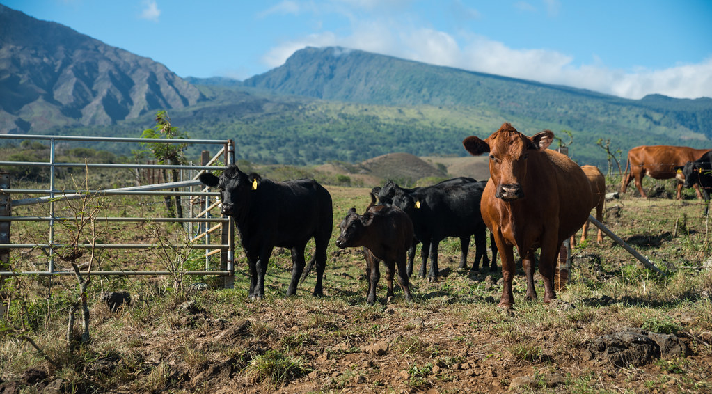
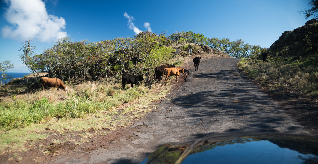
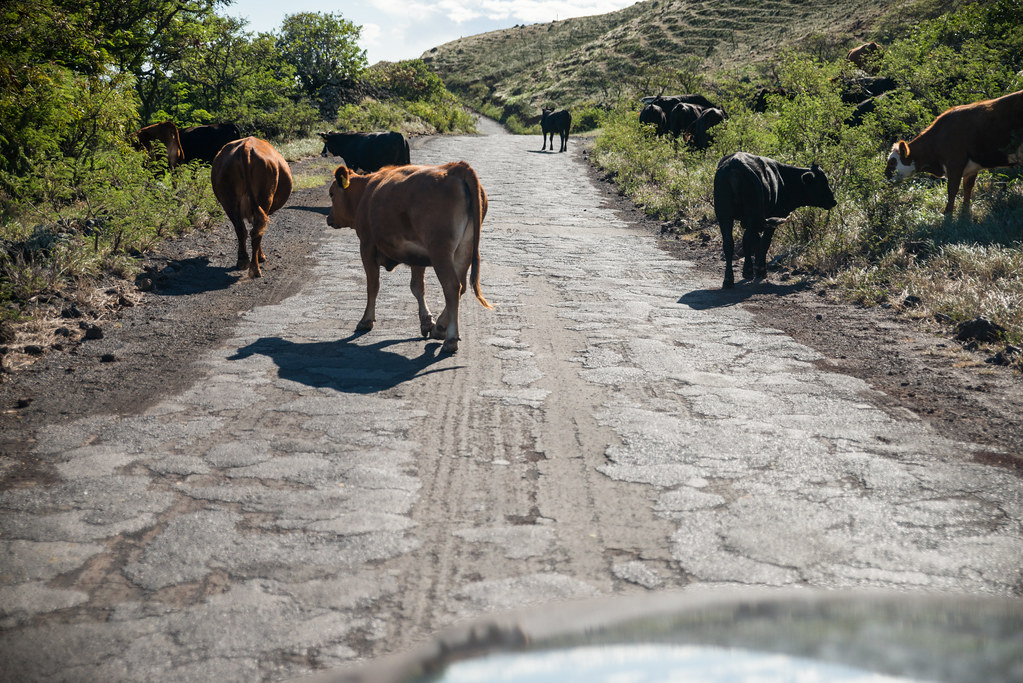


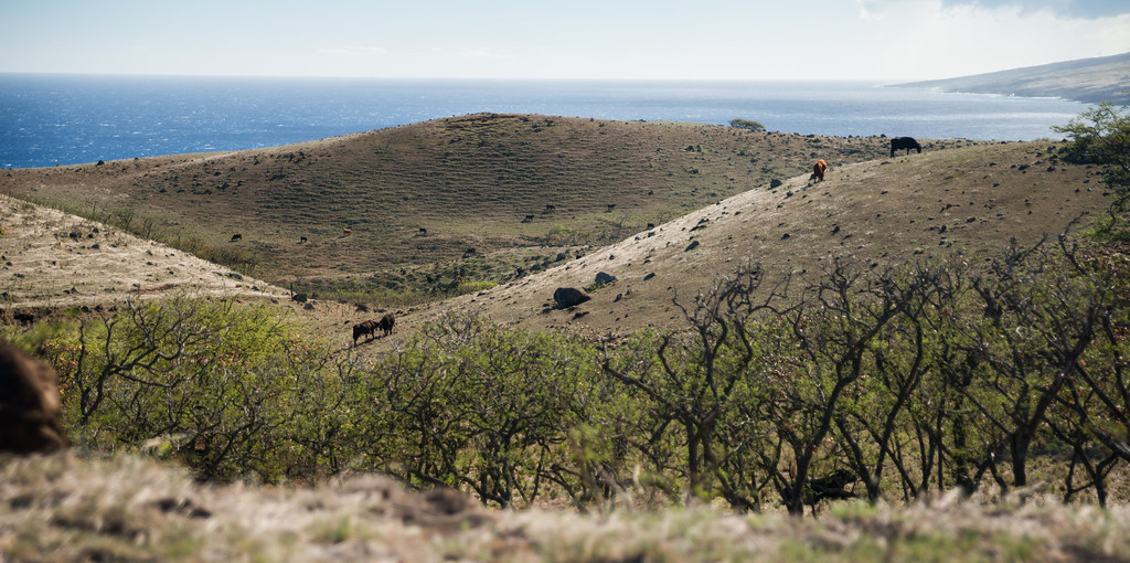
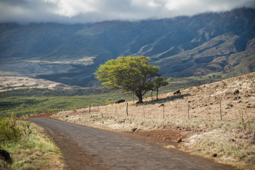
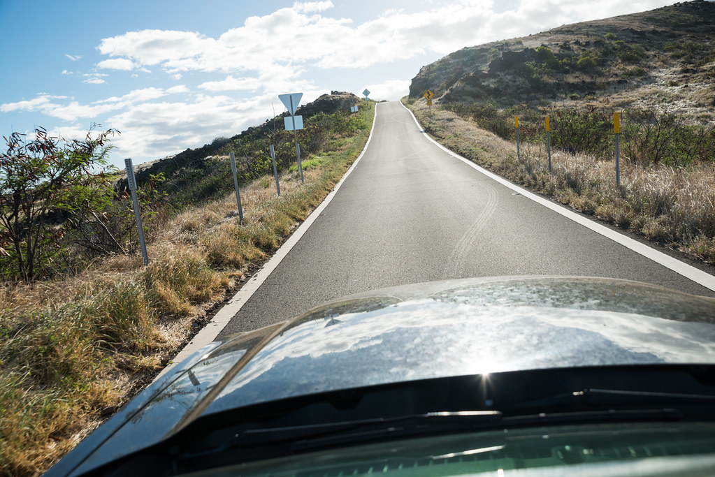
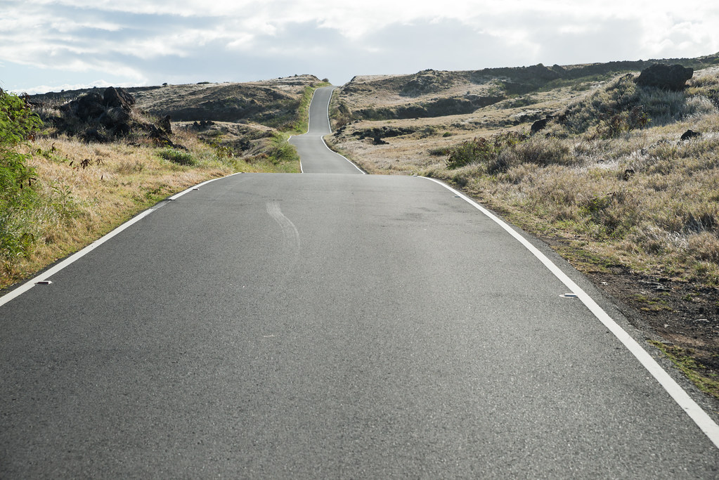
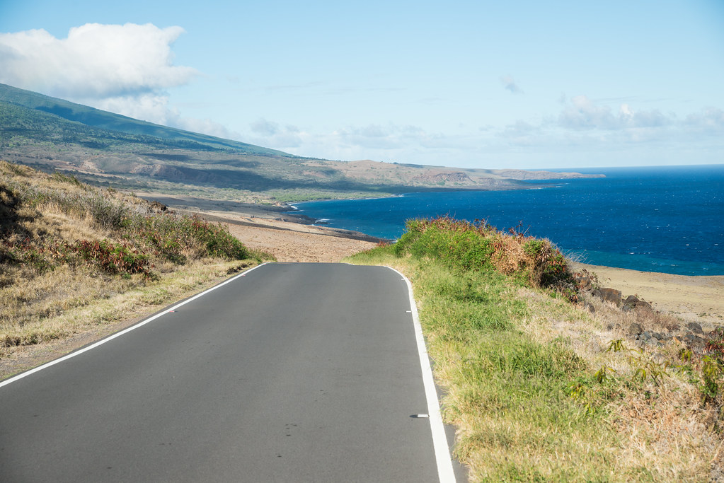
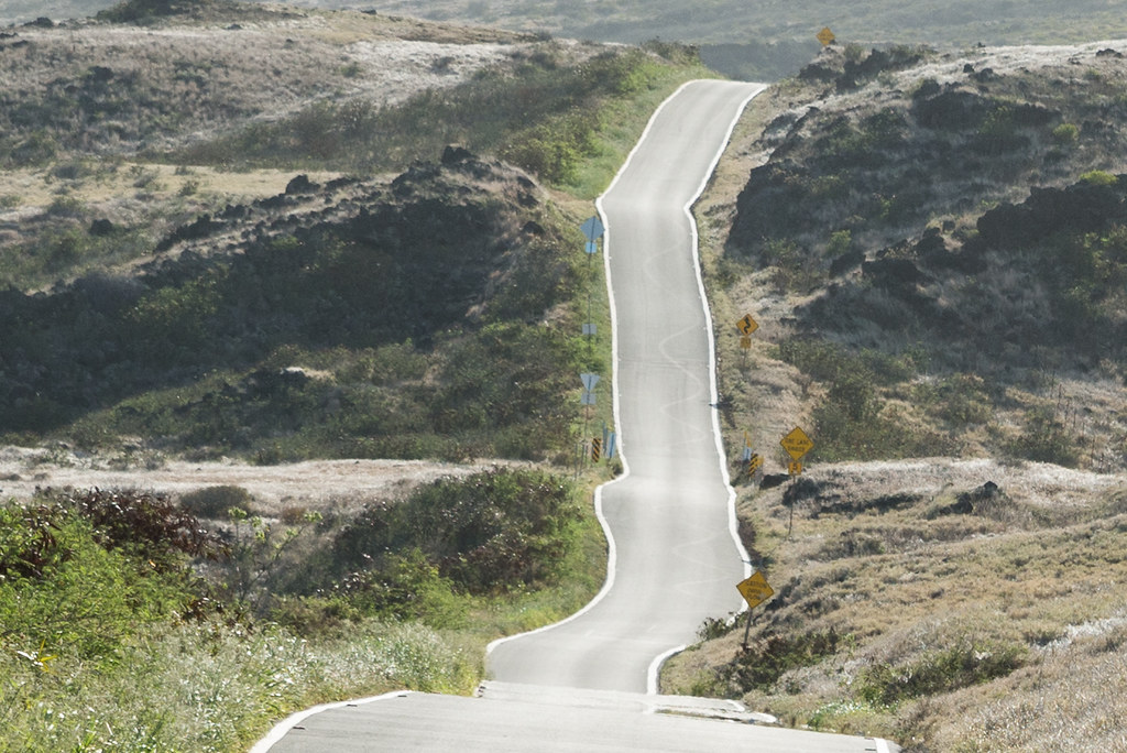
The landscape changed yet again, this time to desert. Without thick foliage in the way, you have marvelous views of Haleakala on one side and the ocean on the other. The road itself is often visible for great distances, a winding ribbon wending its way to the horizon.
Every rise and every bend provides yet another - and completely different - vista:

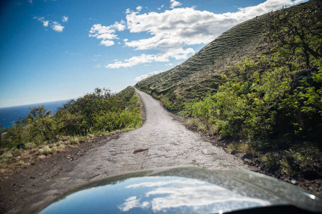
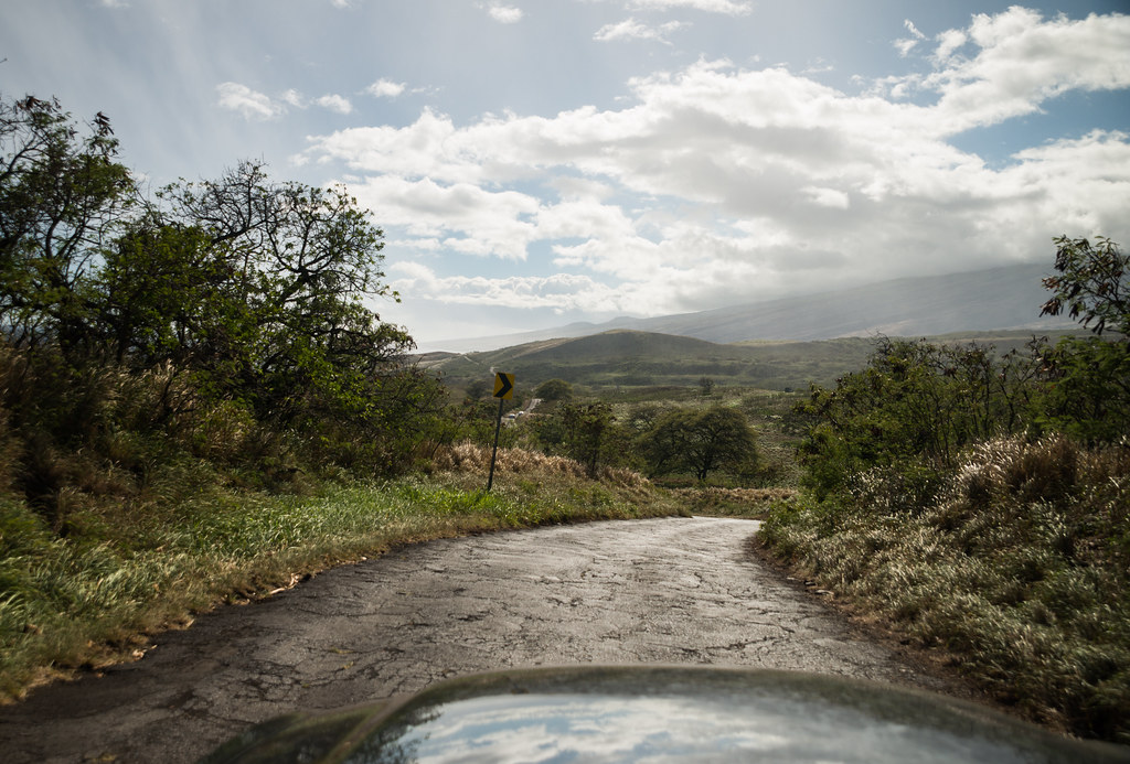
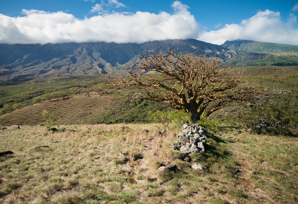


The
Pokowai sea arch is off to the left:

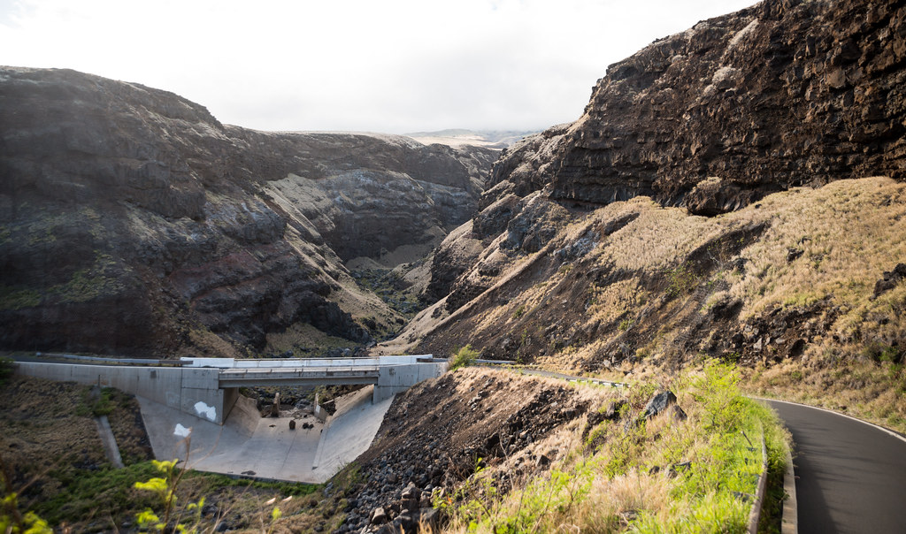
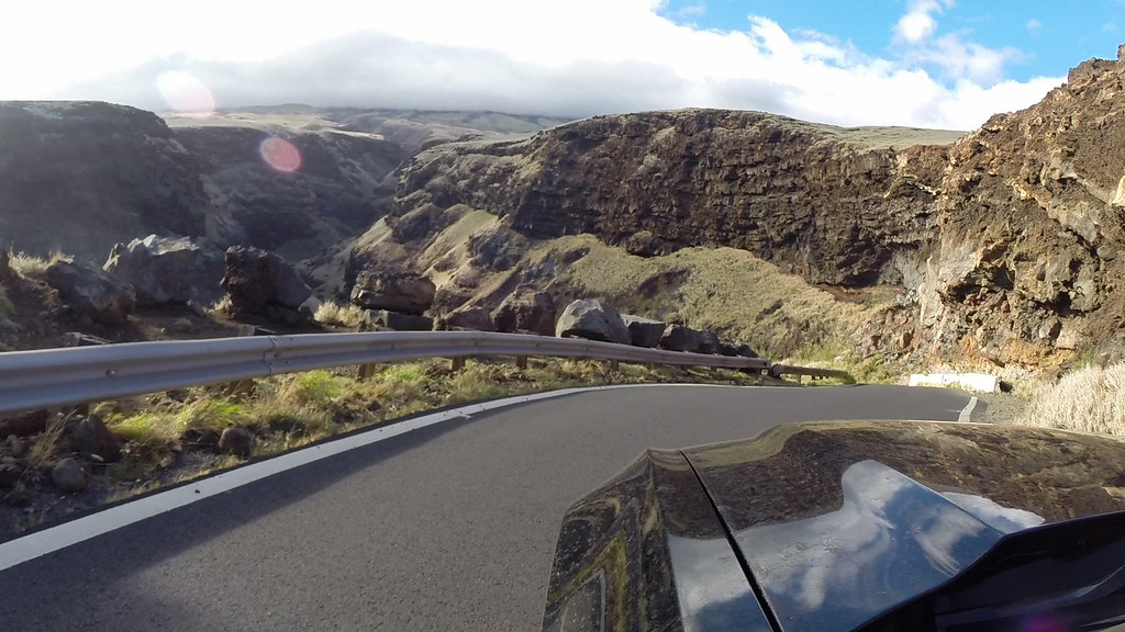
One of the most incredible-looking areas on the island is on this part of the road. In between mile markers 28 and 27, the road takes a nearly 180-degree turn around a hill. At you round the turn, your breath is taken away. The road falls sharply away from you, revealing a landscape that would feel at home in Utah or Arizona. This is the
Manawainui Gulch, a deep, dry canyon which makes its way down the mountain.
The road drops 123 feet in around a tenth of a mile - that's a 40-degree grade. For comparison, the maximum allowed grade in the Interstate highway system is 7 degrees.
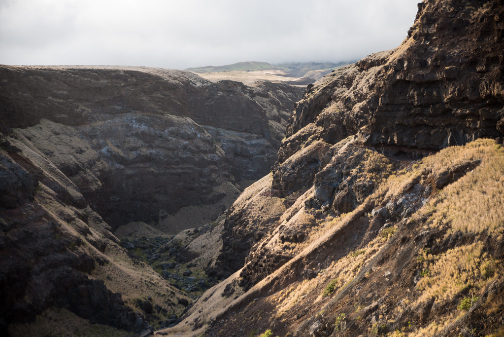
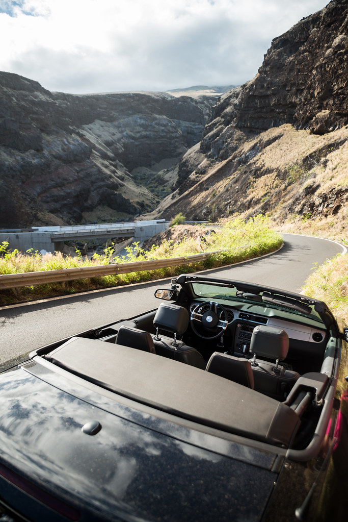
When people think of Hawaii, something like is is
not what they imagine... The diversity on this island is unbelievable.
On the other side of the bridge the road climbs back up:
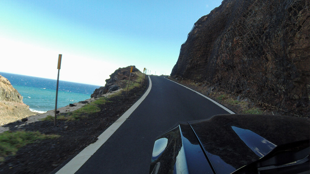

After this some plants start to appear again, as the road turns more inland towards Kula.
Someone appears to have had a lot of fun on a motorcycle here:
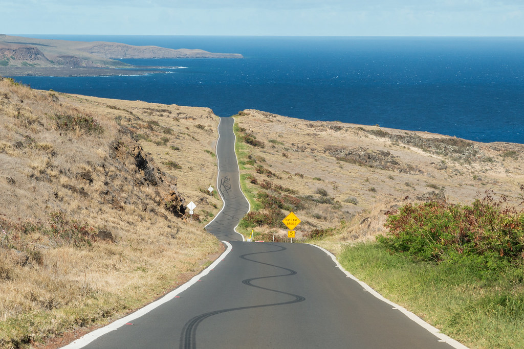
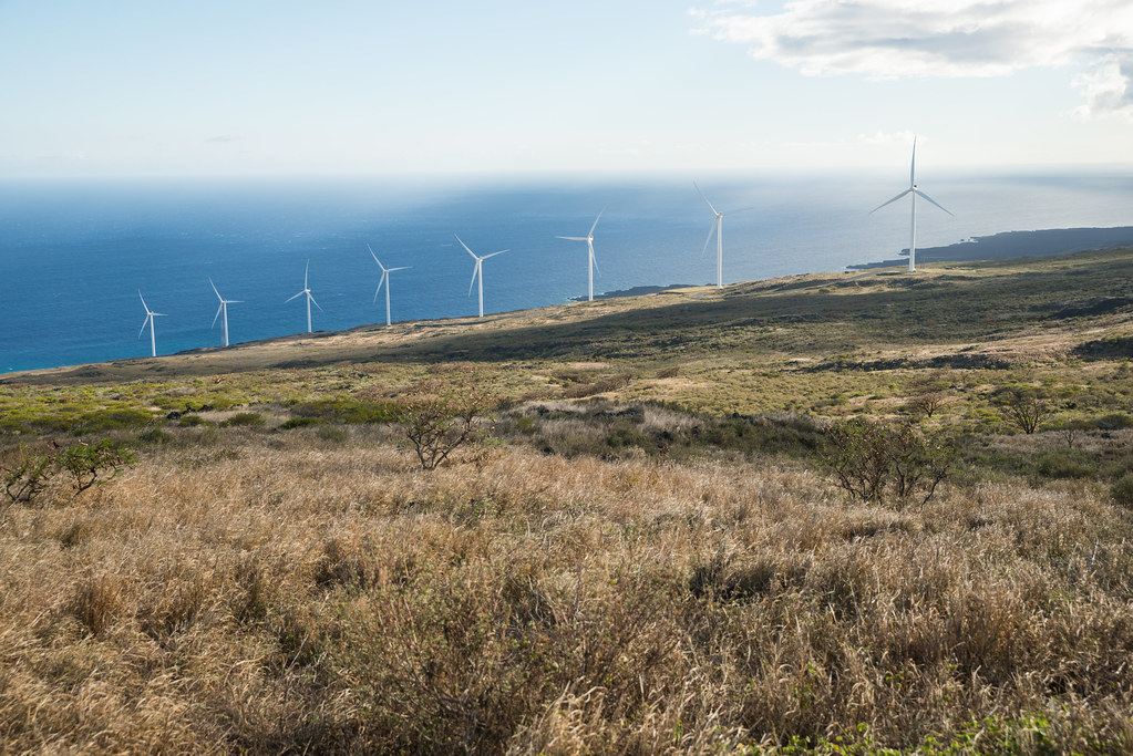
It was getting late in the afternoon when we came to the
Auwahi Wind Farm overlook:
A shower over the island of
Kahoʻolawe:
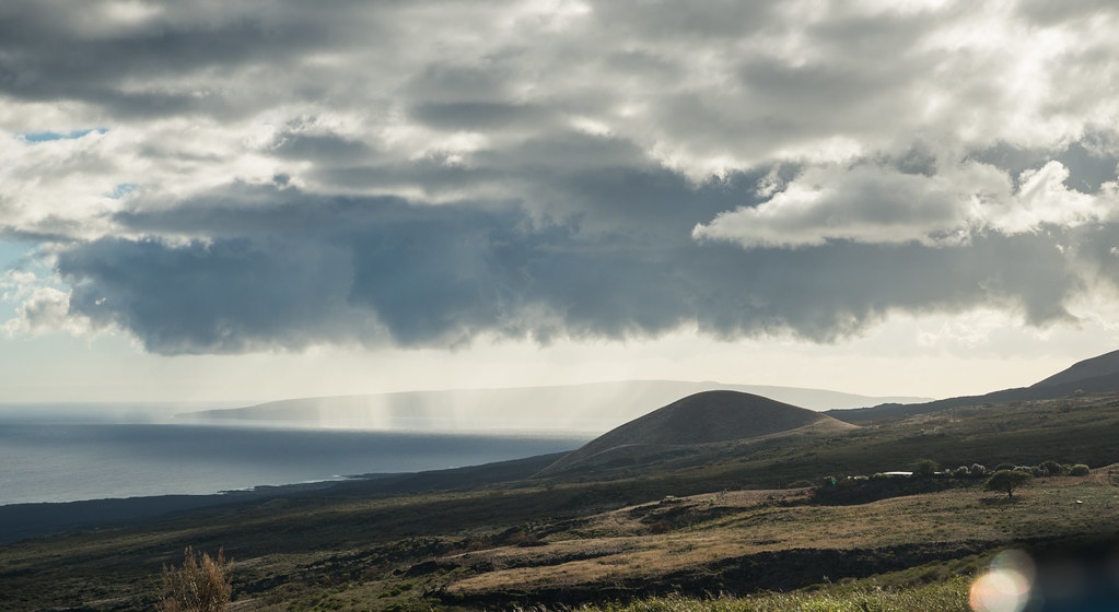
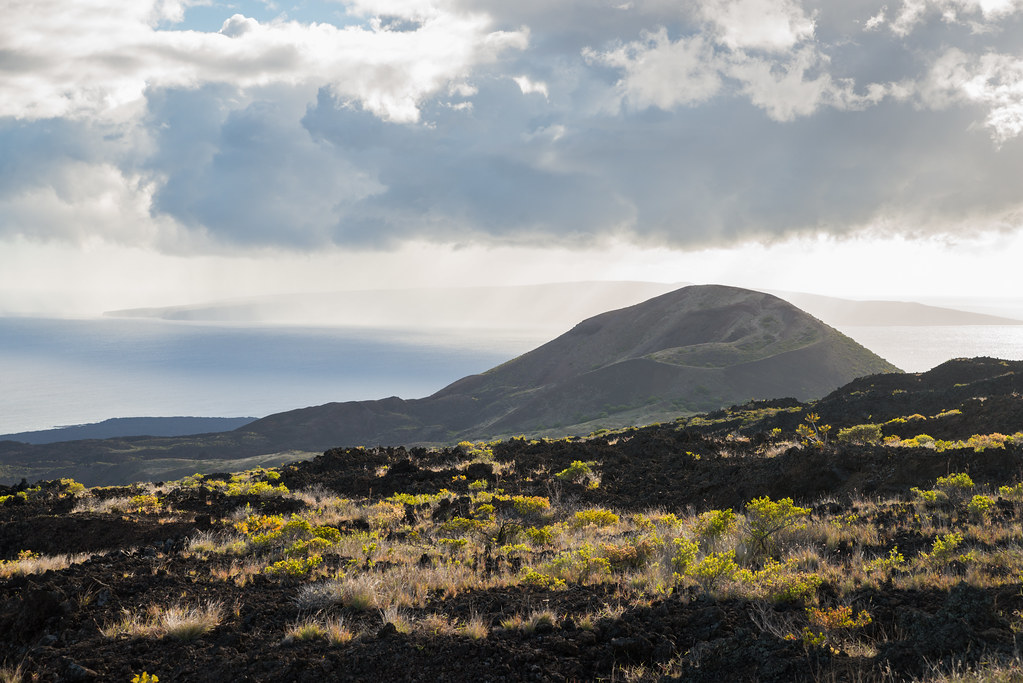
A cinder cone from Haleakala's last eruption:
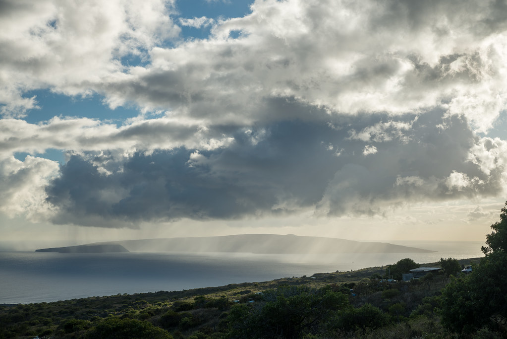
The darker looking area on the left (in front of Kaho'olawe) is the
Molikini crater:
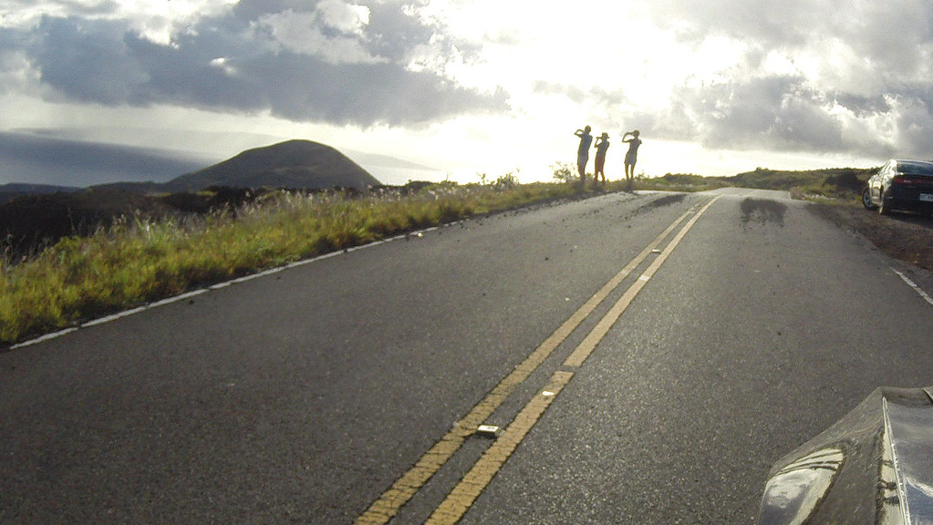
Tourists:
My wife dared me to drive with the roof down and wearing my snorkel gear. I added a lei for good measure

:
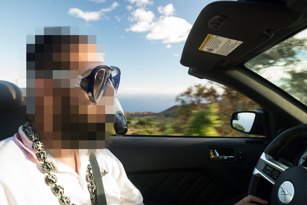
(My motto in life is "
Why be normal when you could be yourself"

.)
Once you're back upcountry, green abounds:
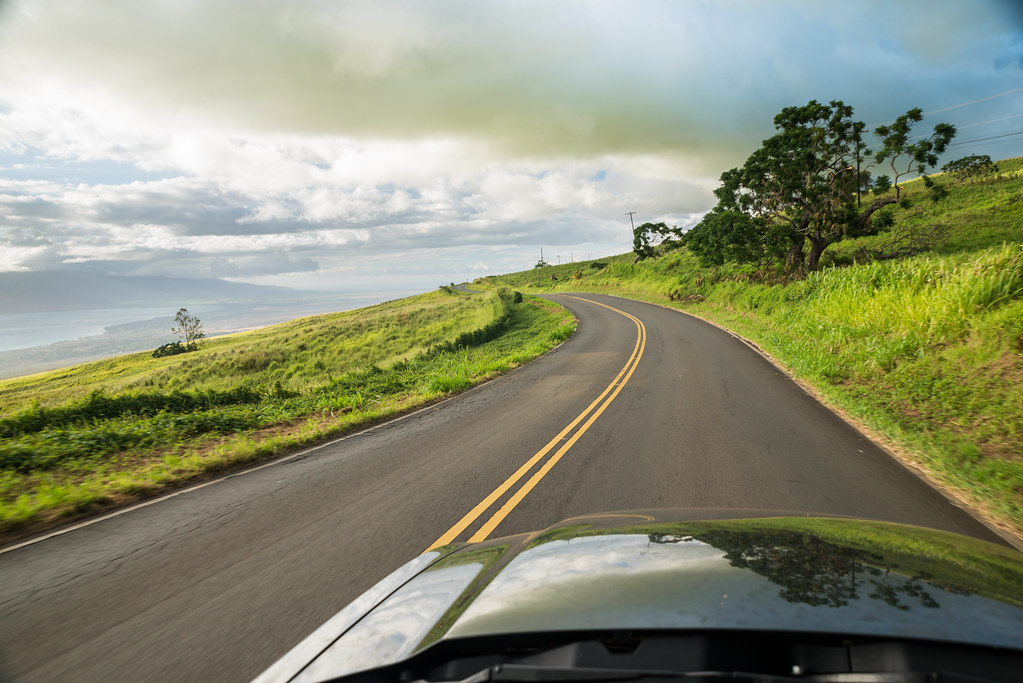
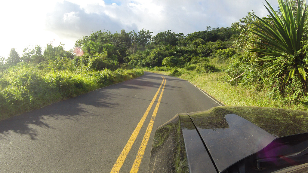
Back in Kula, it's off to our cottage to pick up our luggage:

We had just enough time to our flight to collect our stuff and have dinner. One incredible Hawaiian sunset later and off we were, homeward bound.
The end 
 Topic Wiki
