A map of the Faroes for reference:
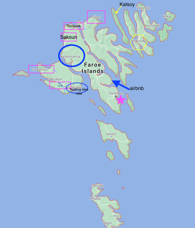
The blue was day 1, yellow day 2 and blue day 3. It was easy driving between the islands, but gas stations were only located on certain islands. Conveniently they all have microwaves which we used to heat up our meal-mart meals.
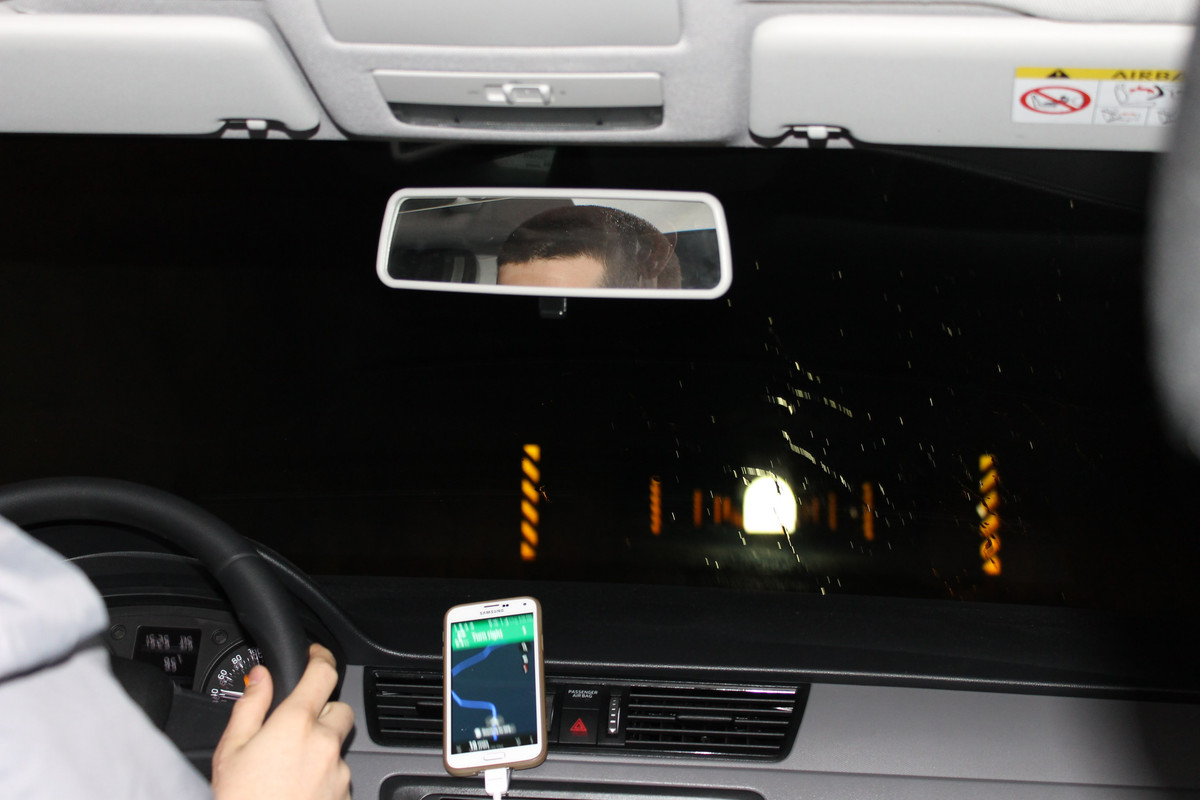
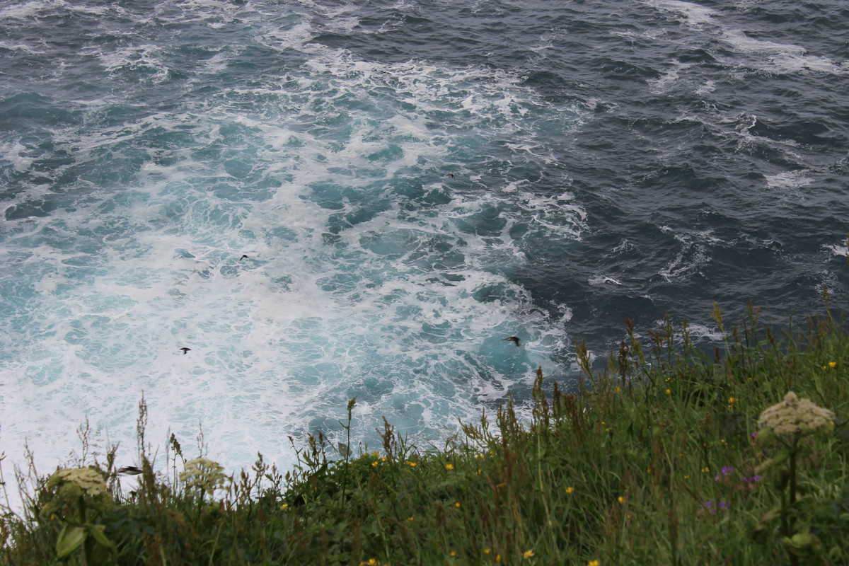
On day 2 we got up very early to make an 8am ferry to Kalsoy. There are no reservations, and they only run every hour of so in the morning and we didnt want to be late. Locals told us not to worry, but I wasn't willing to take a chance. Fortunately we got there when we did as the ferry filled up and people had to wait for the next one. Once on the island there was a ~15 mile single lane road to the end of the island which is where the puffins live. Most people take a hike to a lighthouse on the mountaintop, but due to weather we didnt feel that was safe. We ventured out a bit to see the puffins and it was amazing!
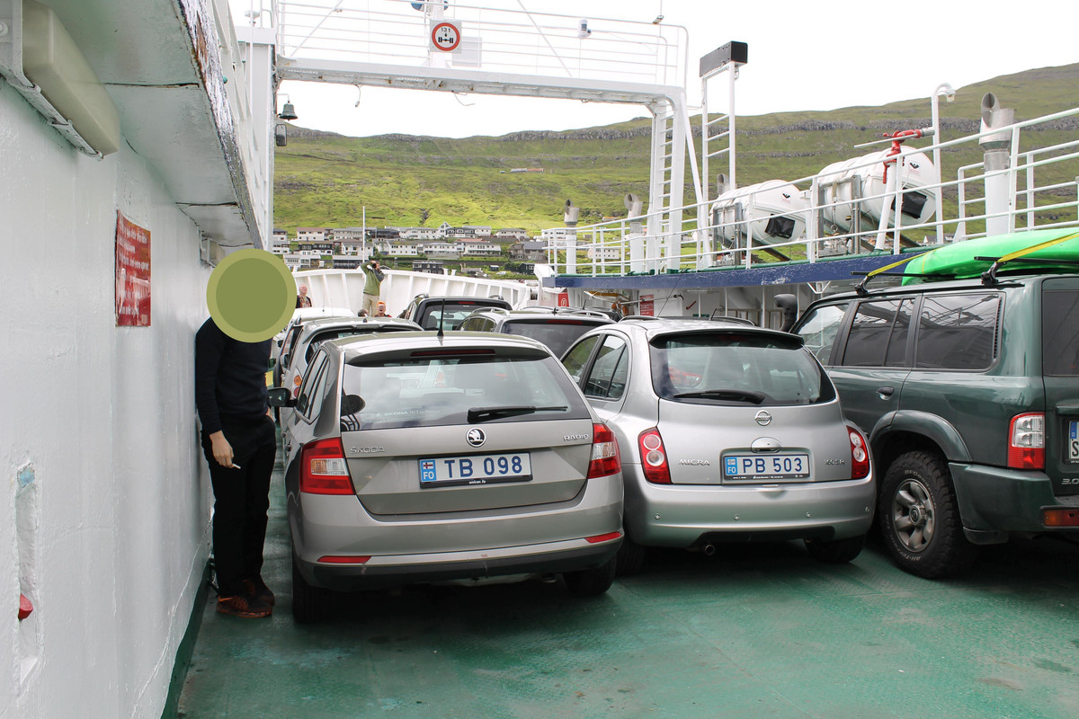
Our car was 3rd to last on!
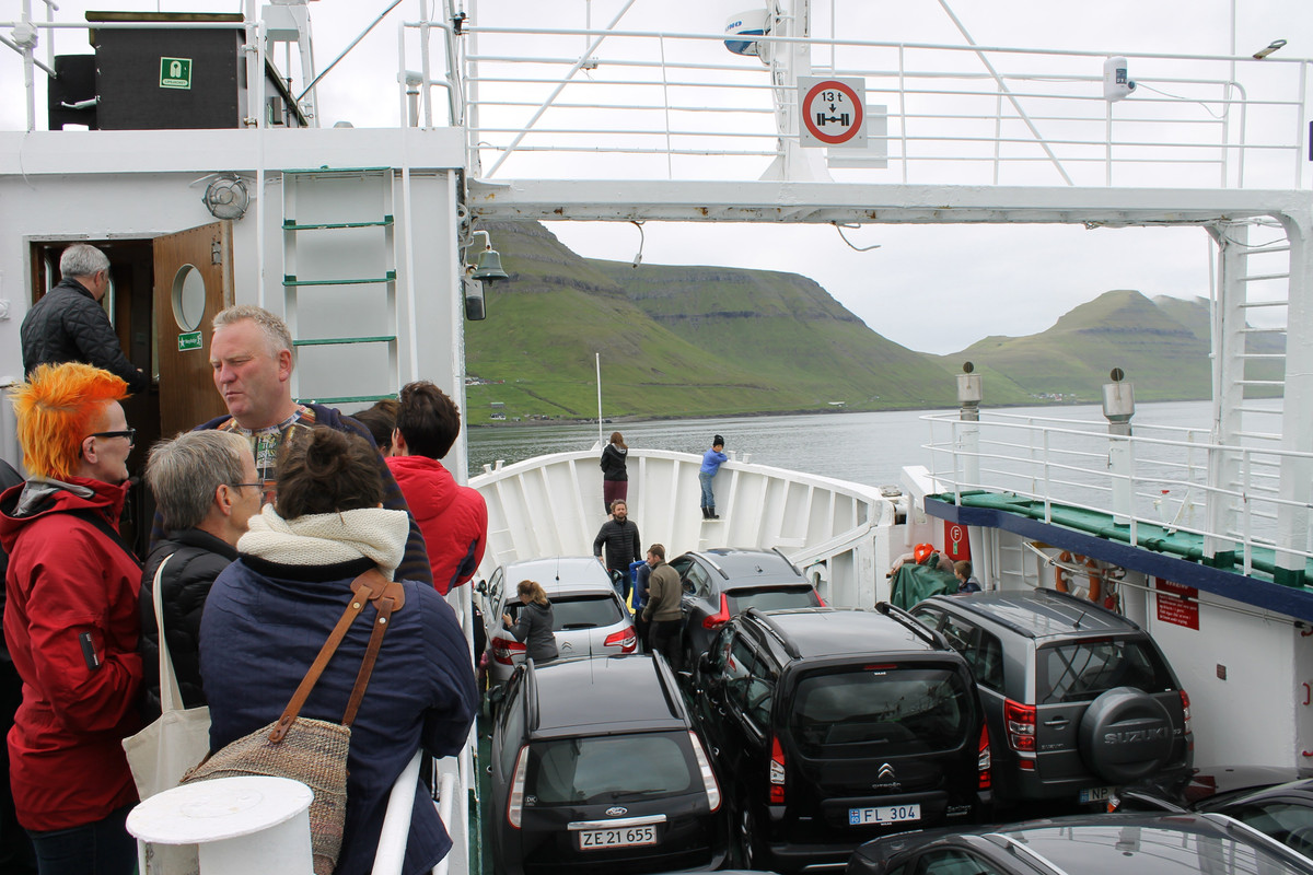
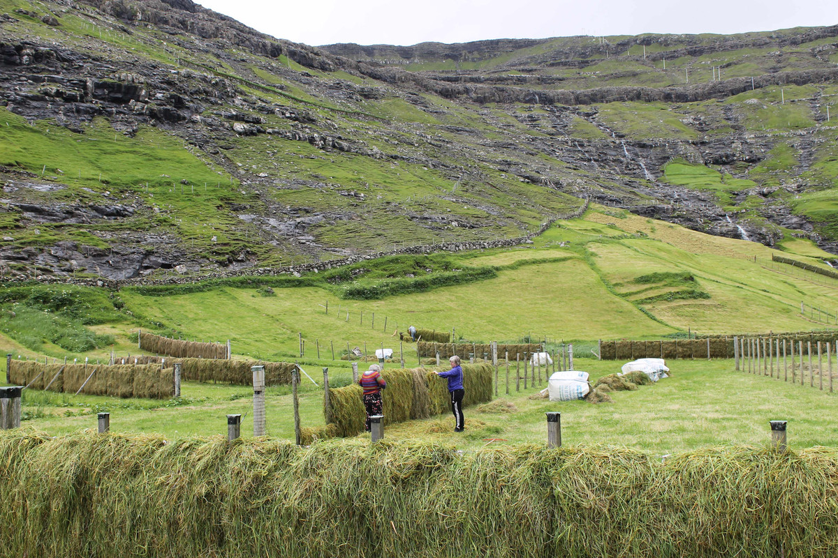
Both the ppl and cars were tight, but sights were amazing
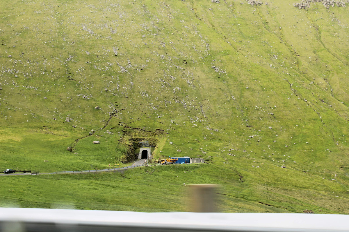
Tunnels every so often cutting through the vast mountains
One lane everywhere, even in the tunnels. I would practically hold my breath until got out! there were pull-outs in the large tunnels that barely fit a car with reflective arrows guiding you there

At the end of the road
I see puffins!
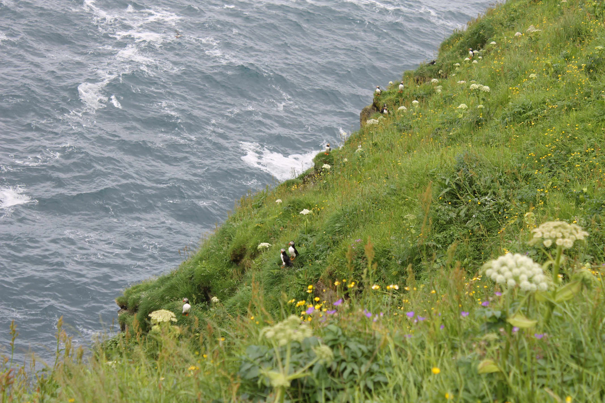
More puffins
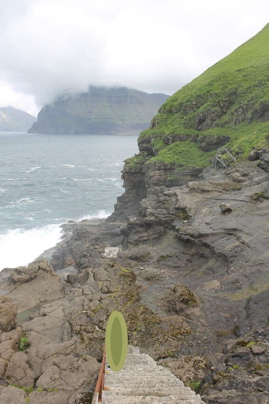
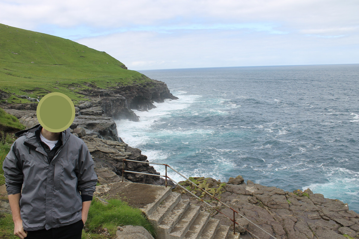
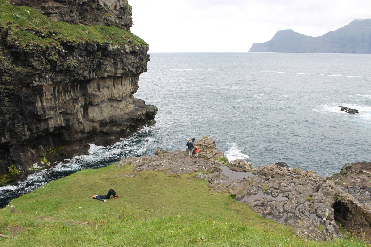
Could go closer to the crashing waves
somewhere behind me is the start of the hike ot the lighthouse. Again, there is no marked path, just hike on the crest of the hill/mountain and you will find the lighthouse!
Day 3:
Started the day early in Torshavn- the capital- to get a coffee and walk around. We were told the country has 3 stop-lights and they are all located here.
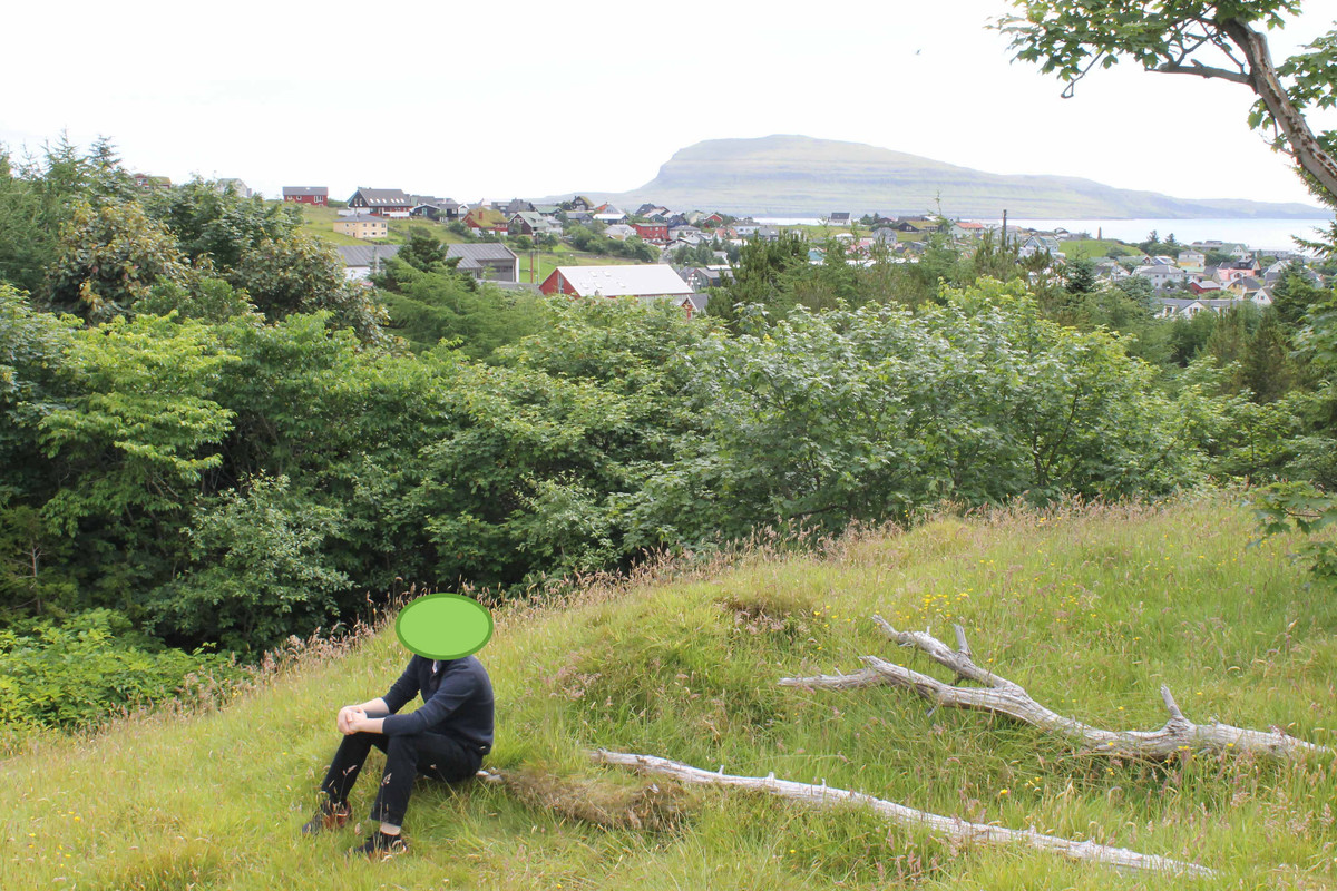
Went on a short hike in the city to get a view
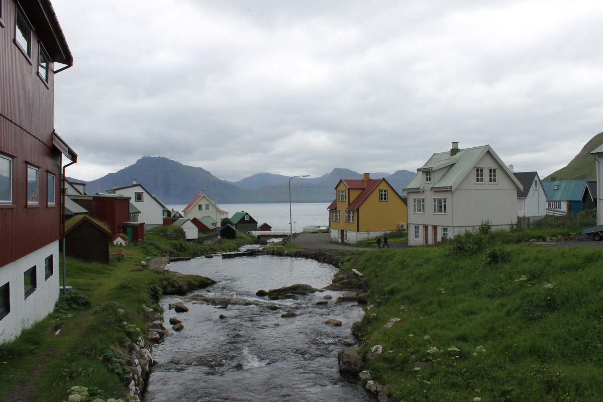
Drove North to Gjogv a town with beautiful scenery
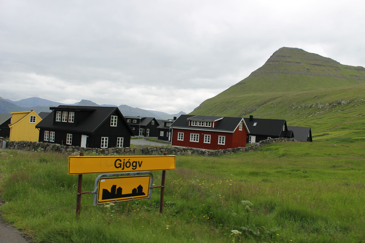
Gjogv sign
napping in Gjogv
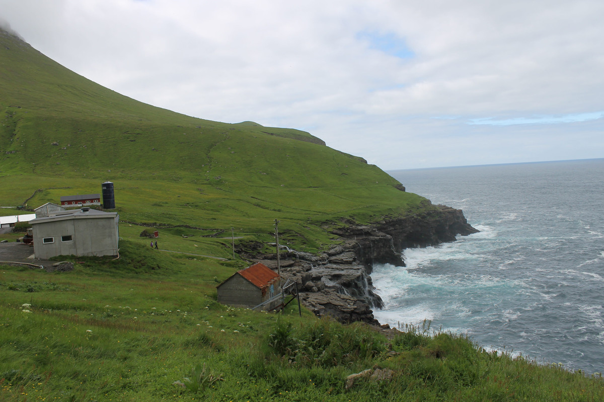
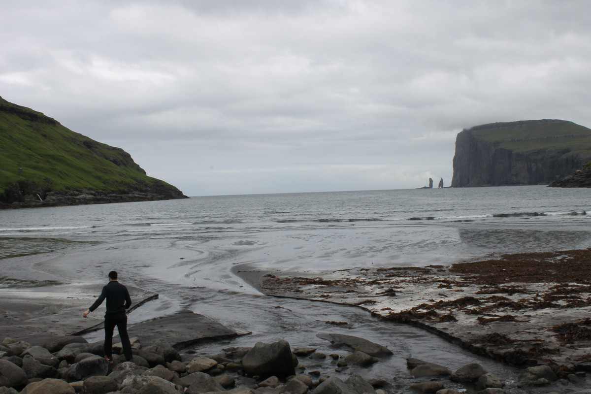
Drove South to Tjørnuvík a small town nestled between mountains with a magnificent black sand beach.
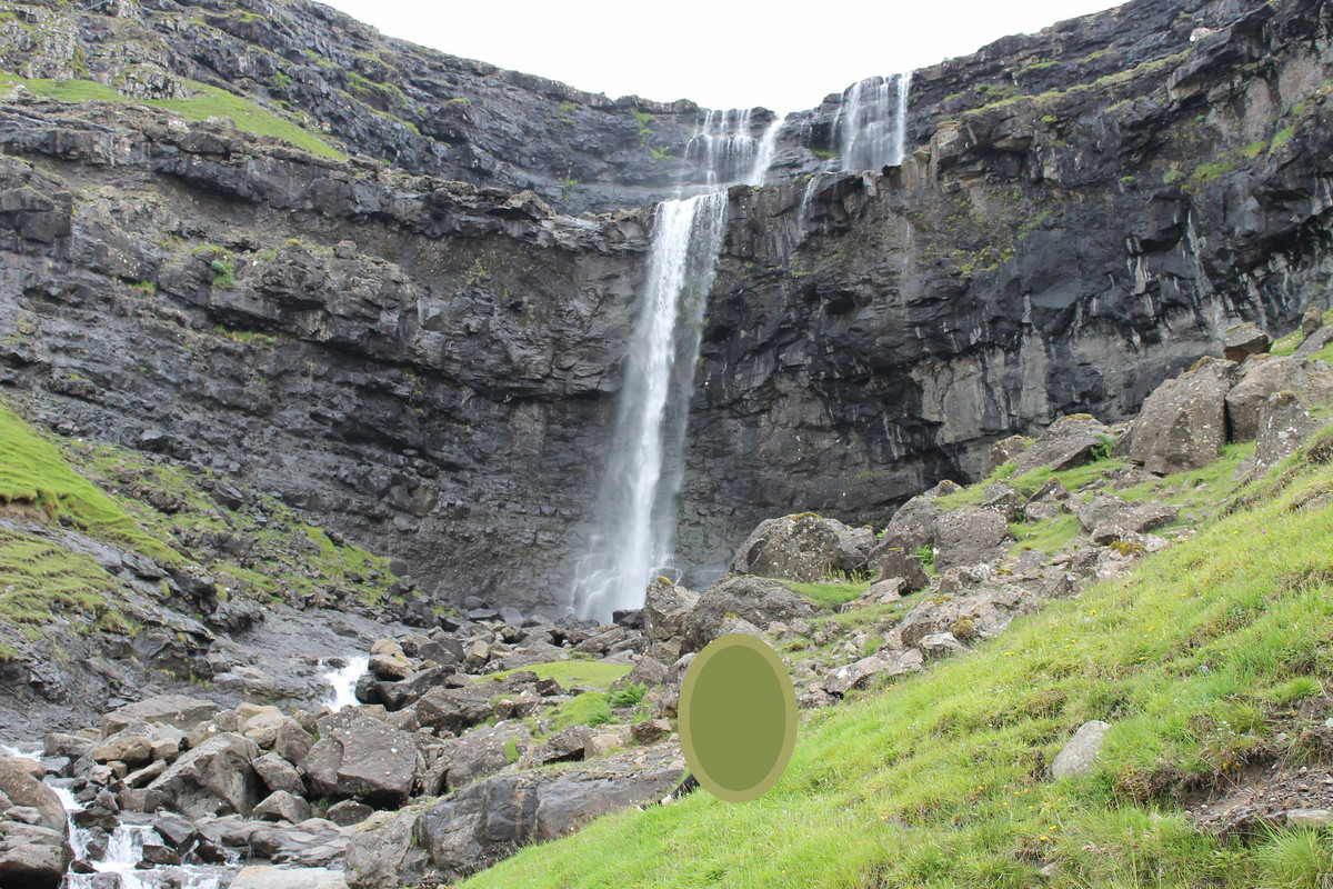
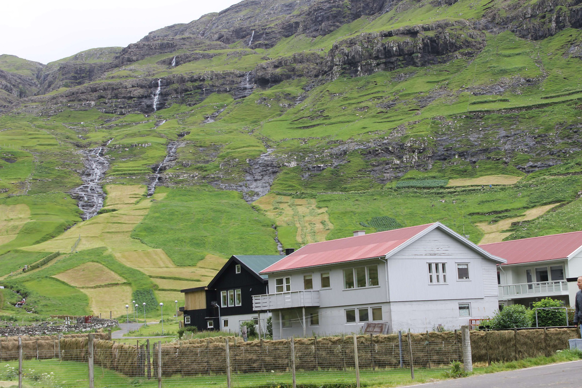
We made sure to stop at the Fossuriní Fossá (waterfall) on our way to Tjørnuvík
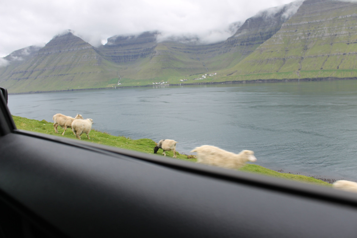
The real locals have the right of way

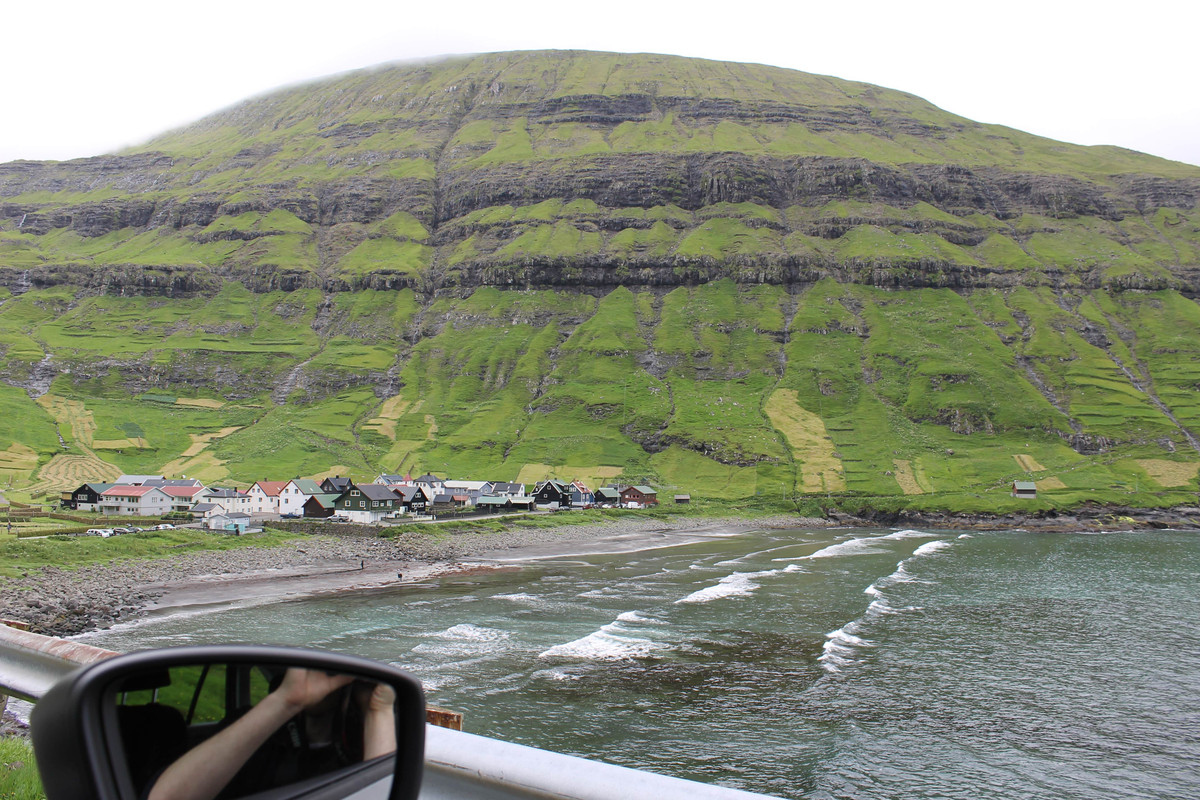
Can see the town from miles away while driving in
1/3 of the population right here

The Giant and the Witch are visible to the right. Some folktale about them
scenery near black sand
city views
side of road stop
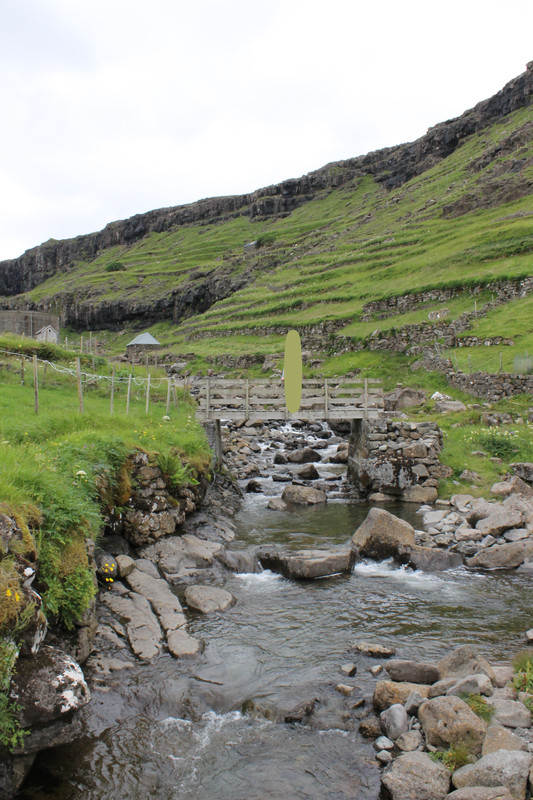
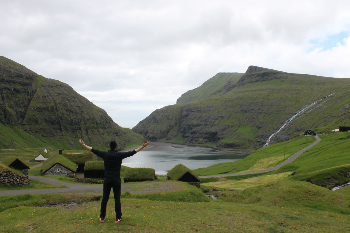
Saksun:
The road to Saksun is a long drive in a valley with a picturesque river running for many miles. Once you get to the city you are welcomed by the grass covered homes and a deeper valley. We started by climbing down into the deeper valley which is filled with majestic black sand. Depending on the tides the flood can be covered with water, or a path opens allowing you to venture out to the ocean. We didn't plan around this, but were fortunate to get there in low tide and were able to walk out to the ocean (Cant find pics of this).
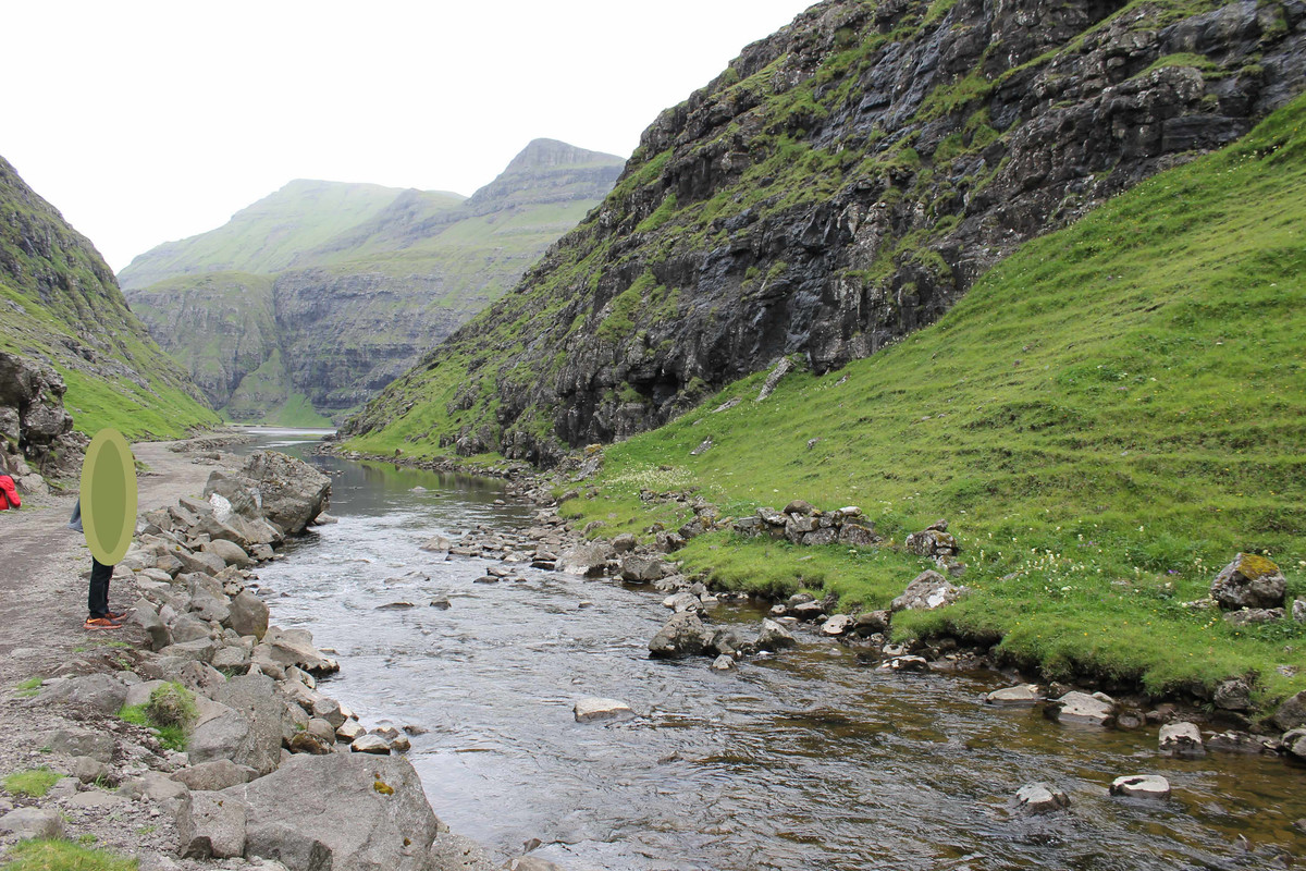
The river from the valley drains into the ocean
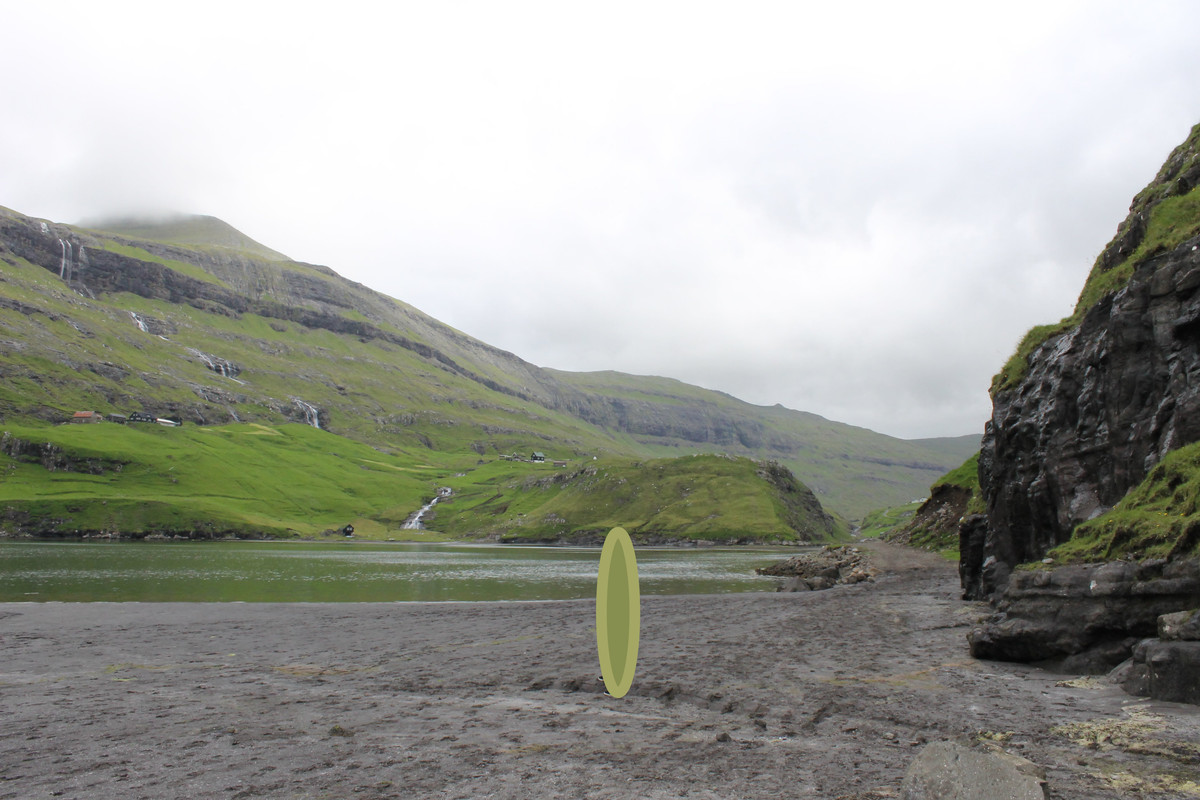
Portions fill with water during high tide blocking the pathway to the ocean
Possibly my favorite picture
From there we headed to Gasadalur for the last mandatory picture in the Faroes
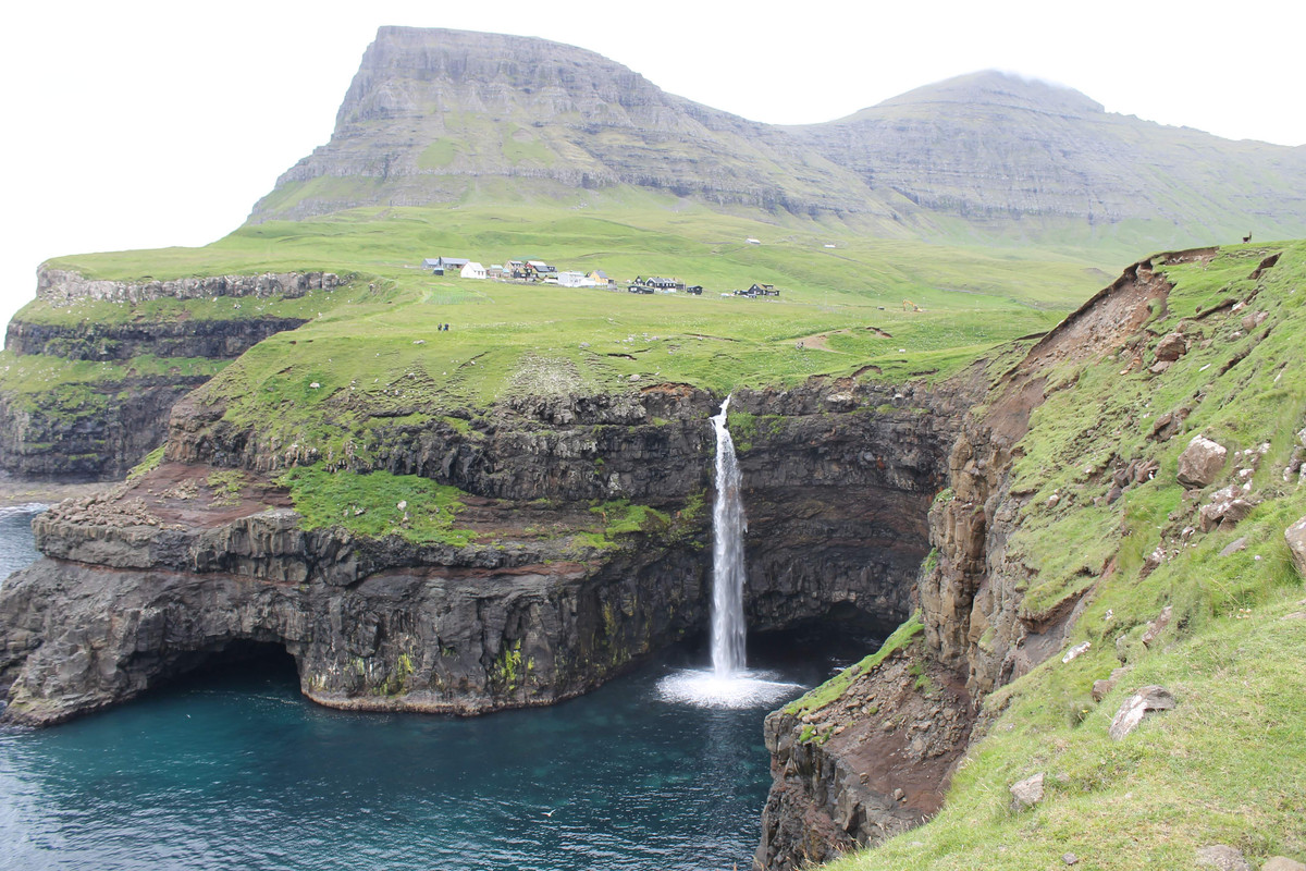
Múlafossur waterfall in Gasadalur
Then off to the airport and our flight to Israel. The Faroe Islands are an enchanting place. I don't think I could live there with the gloomy weather and isolation, but it does seem like a wonderful escape right about now.
